Maspalomas
Guide to Maspalomas
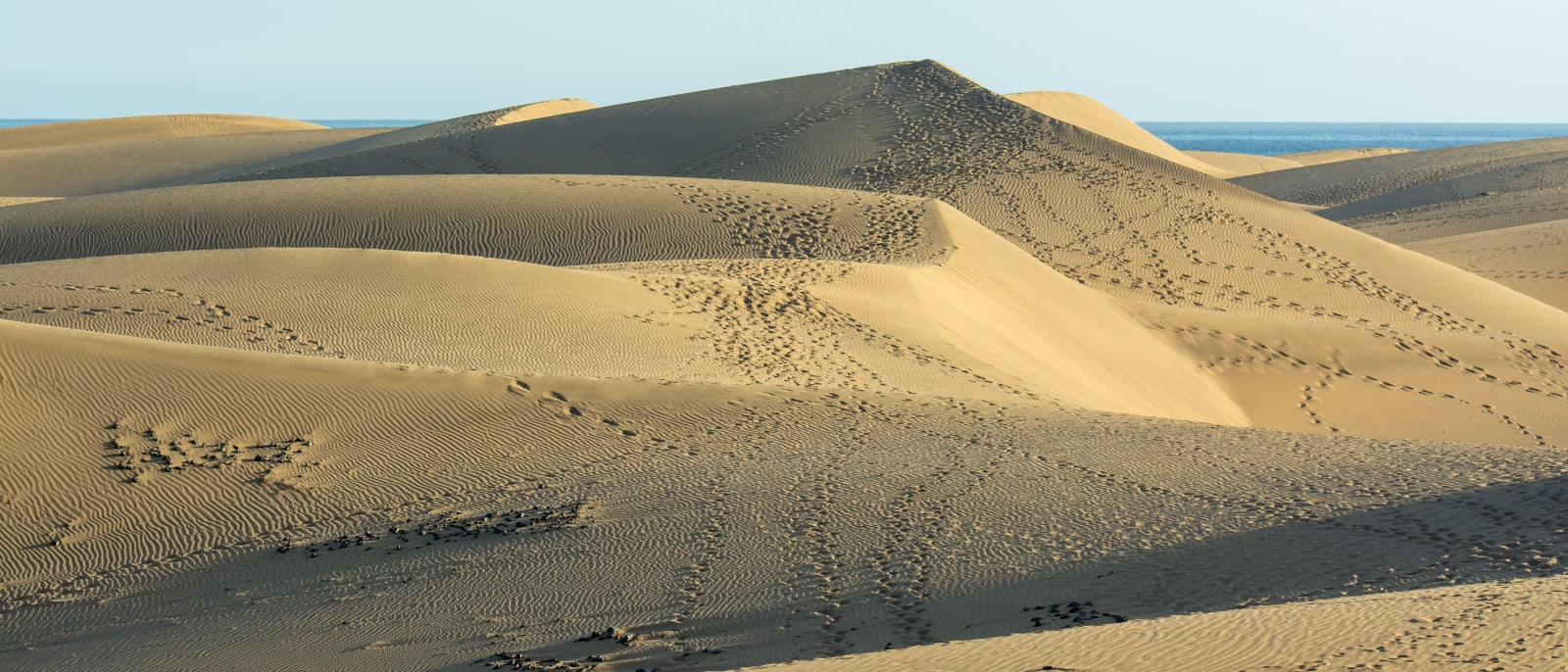
The island's southern tip, where a protected field of sand dunes runs to the sea between Playa del Inglés and the lighthouse.
Maspalomas sits at the southern tip of Gran Canaria, in the municipality of San Bartolomé de Tirajana, and the name covers two things: a protected field of sand…Maspalomas sits at the southern tip of Gran Canaria, in the municipality of San Bartolomé de Tirajana, and the name covers two things: a protected field of sand dunes and the resort that has grown up around it. The whole coast of the municipality is promoted as Maspalomas Costa Canaria, from Bahía Feliz in the east to Pasito Blanco in the west, so an address that says Maspalomas can belong to any part of it.
The dunes are a Reserva Natural Especial of 403.9 hectares, and the Charca de Maspalomas, a lagoon, lies inside the reserve. They are open to the public, but only on the marked paths: about eight kilometres of them, lined with bollards, with signs warning that leaving the path and walking across the dunes is prohibited. Camping is prohibited too. The Cabildo estimates that the reserve loses around 45,000 cubic metres of sand to the sea every year, and the path rules are part of protecting what is left.
The beach runs along the seaward side of the dunes, from Playa del Inglés at one end to the lighthouse at the other. Behind the dunes lie Campo Internacional, beside the golf course, and further inland Sonnenland and El Tablero, all part of the same continuous run of resort.
As a base it puts the south and west within easy reach. From Maspalomas the airport is about half an hour, Puerto Rico just over twenty minutes and Puerto de Mogán under half an hour, and from Playa del Inglés it is eight minutes. The mountains are slower: Roque Nublo routes at just over an hour, which says more about the roads inland than the distance.
Showing 12 of 50 results
Nearby places in Gran Canaria
Other places around the bay, sorted by distance.
Meloneras
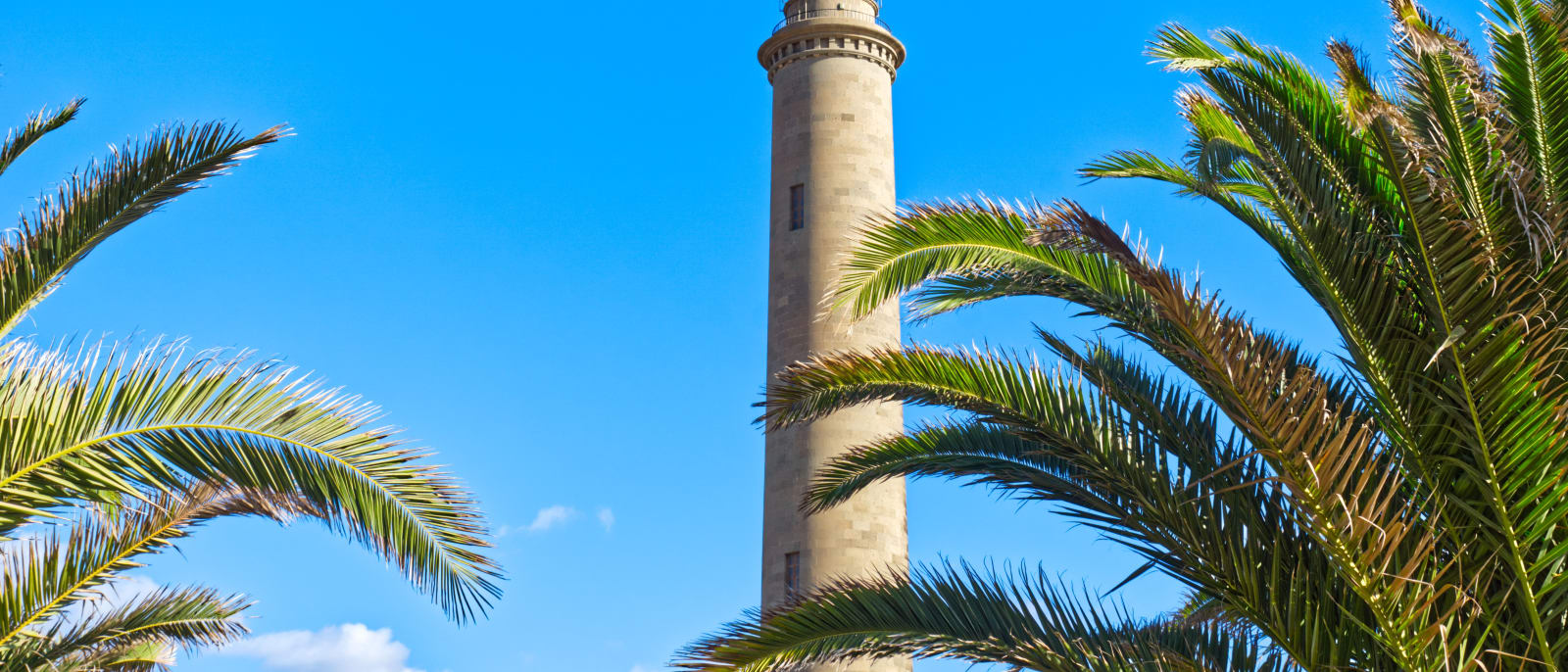
The western end of the Maspalomas coast, the strip between the old lighthouse and Playa de Meloneras, joined by a seafront promenade.
Playa del Inglés
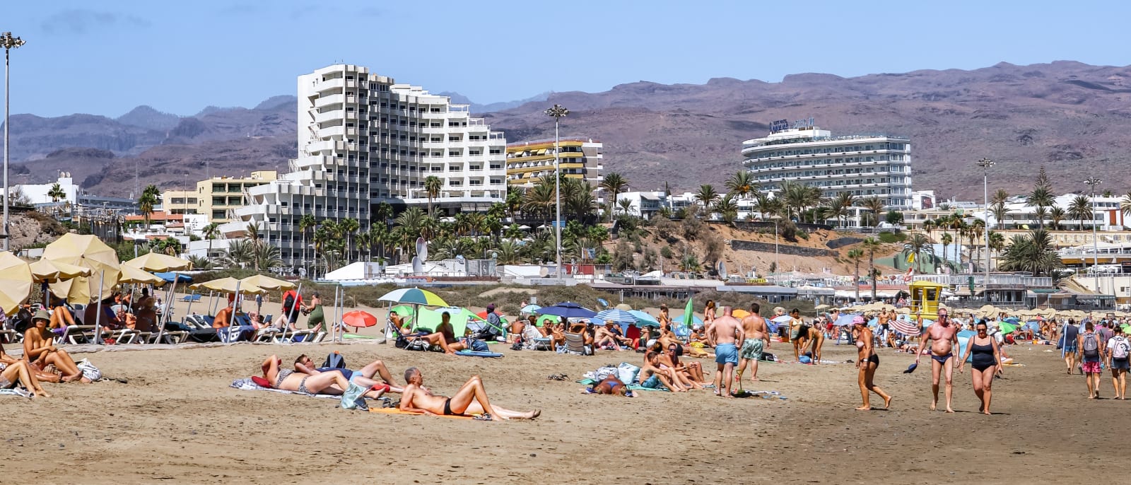
The best-known and most densely populated part of the Maspalomas coast, with a long beach that runs into the protected dunes.
Puerto Rico
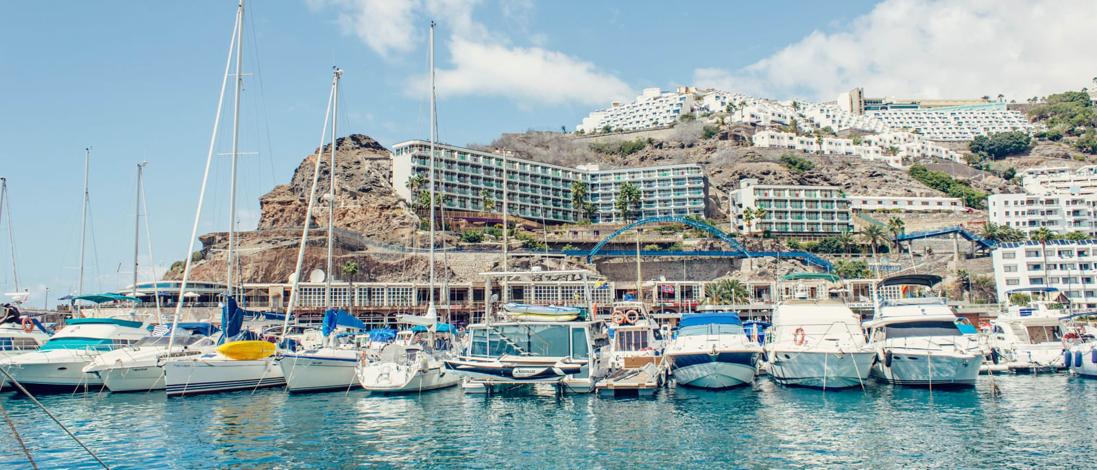
A resort in a valley on the Mogán coast, with apartment blocks stepped up both slopes above its marina and beach.
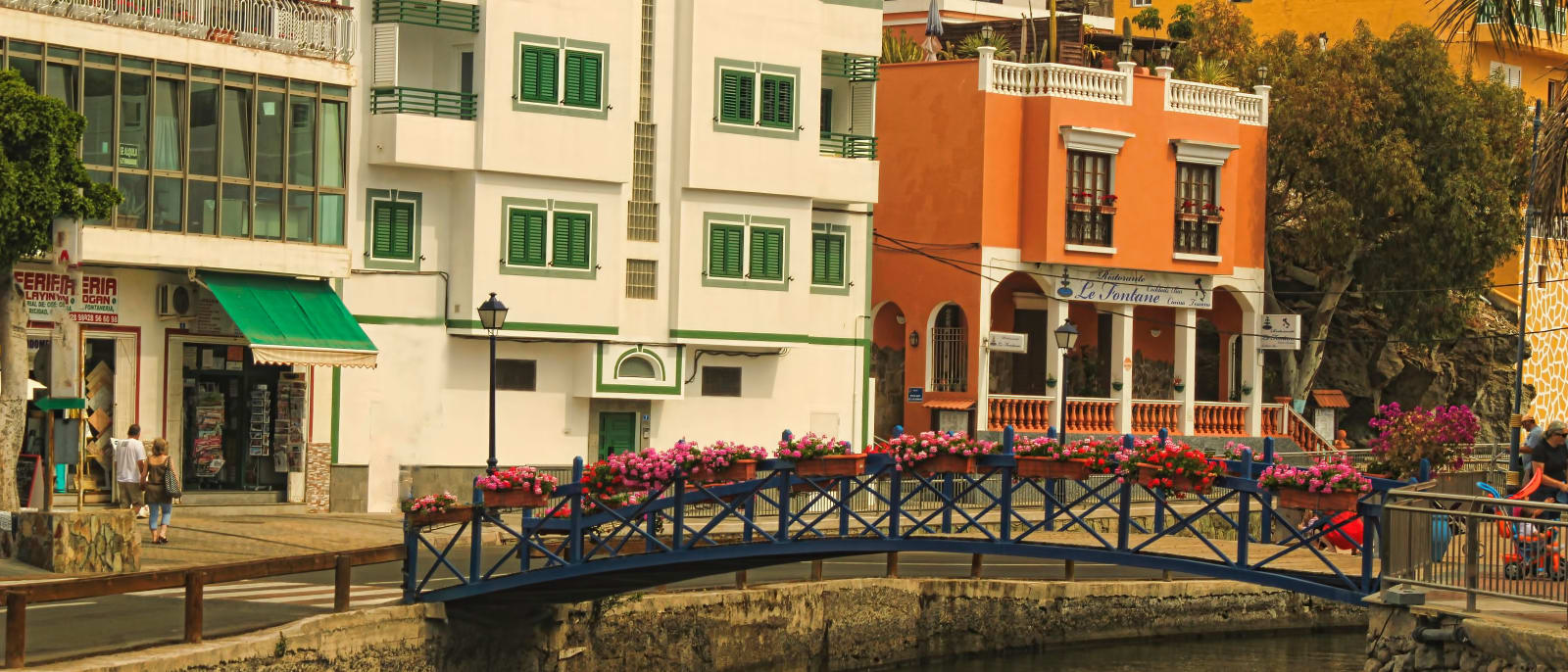
Puerto de Mogán
A harbour resort at the western end of the south coast, built around canals and footbridges, with a street market every Friday.
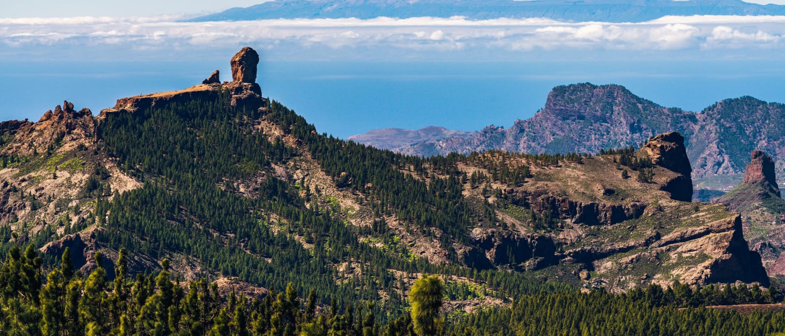
Roque Nublo
The rock pinnacle at the island's centre, a protected natural monument reached on foot by a trail that must be booked.
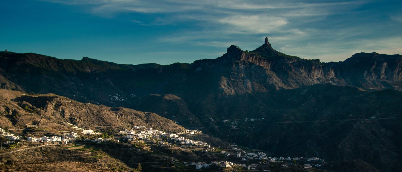
Tejeda
A mountain village at 1,050 metres in the centre of the island, below the caldera's rock pinnacles and Roque Nublo.