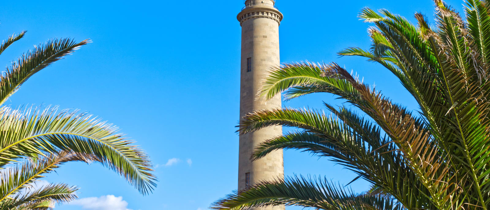
Meloneras
Guide to Meloneras
The western end of the Maspalomas coast, the strip between the old lighthouse and Playa de Meloneras, joined by a seafront promenade.
Meloneras is the stretch of coast in San Bartolomé de Tirajana between the Faro de Maspalomas and Playa de Meloneras, at the western end of the resort coast tha…Meloneras is the stretch of coast in San Bartolomé de Tirajana between the Faro de Maspalomas and Playa de Meloneras, at the western end of the resort coast that begins at Bahía Feliz. Pasito Blanco, with its port, marks the end of that coast beyond it, and the GC-1 has an exit for both, number 50.
The lighthouse is the landmark. Juan de León y Castillo was commissioned to design it in 1884, the works ran until 1889, and it was first lit on 1 February 1890. The tower is 54.7 metres high, the whole reaching 60 metres above sea level with the lantern; it was declared a Bien de Interés Cultural in 2005, and it is fully automated and still working.
From the lighthouse a seafront promenade runs west to Playa de Meloneras, and the Maspalomas dunes begin on its other side, so the reserve and its beach are on foot from here. The lighthouse is also where line 18, the bus to Roque Nublo, starts and finishes, three times a day there and back, which takes care of the problem of parking in the mountains; the trail itself still has to be booked.
Meloneras sits a little closer to the west than the rest of the Maspalomas coast: from here Puerto Rico is 19 minutes by the routed drive and Puerto de Mogán 25. Maspalomas is five minutes the other way, Playa del Inglés ten, and the airport about half an hour.
Nearby places in Gran Canaria
Other places around the bay, sorted by distance.
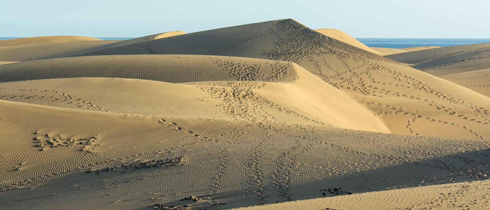
Maspalomas
The island's southern tip, where a protected field of sand dunes runs to the sea between Playa del Inglés and the lighthouse.
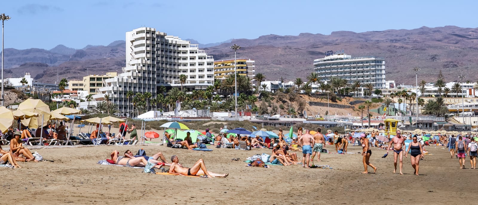
Playa del Inglés
The best-known and most densely populated part of the Maspalomas coast, with a long beach that runs into the protected dunes.
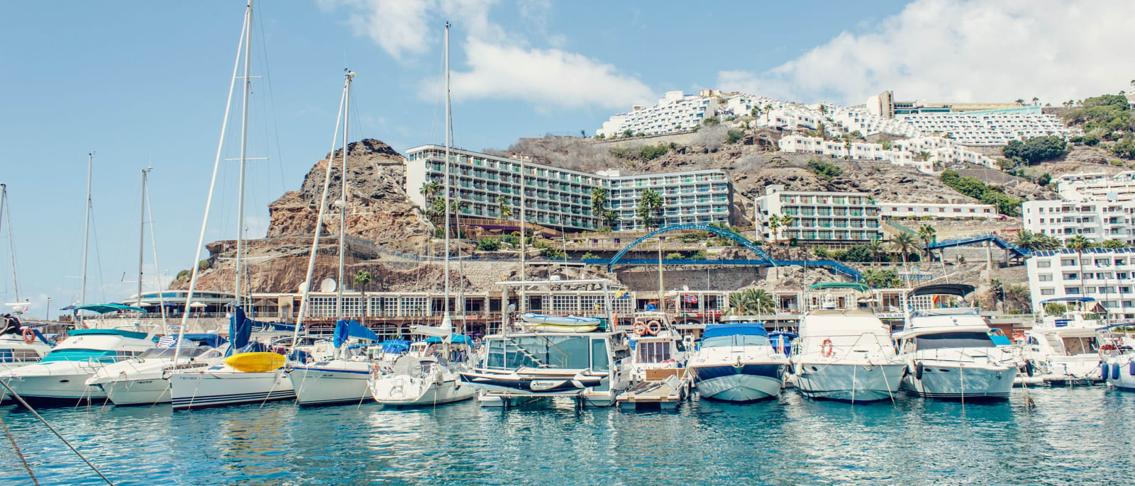
Puerto Rico
A resort in a valley on the Mogán coast, with apartment blocks stepped up both slopes above its marina and beach.
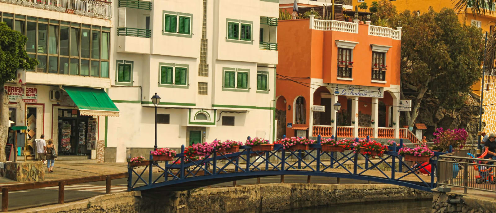
Puerto de Mogán
A harbour resort at the western end of the south coast, built around canals and footbridges, with a street market every Friday.
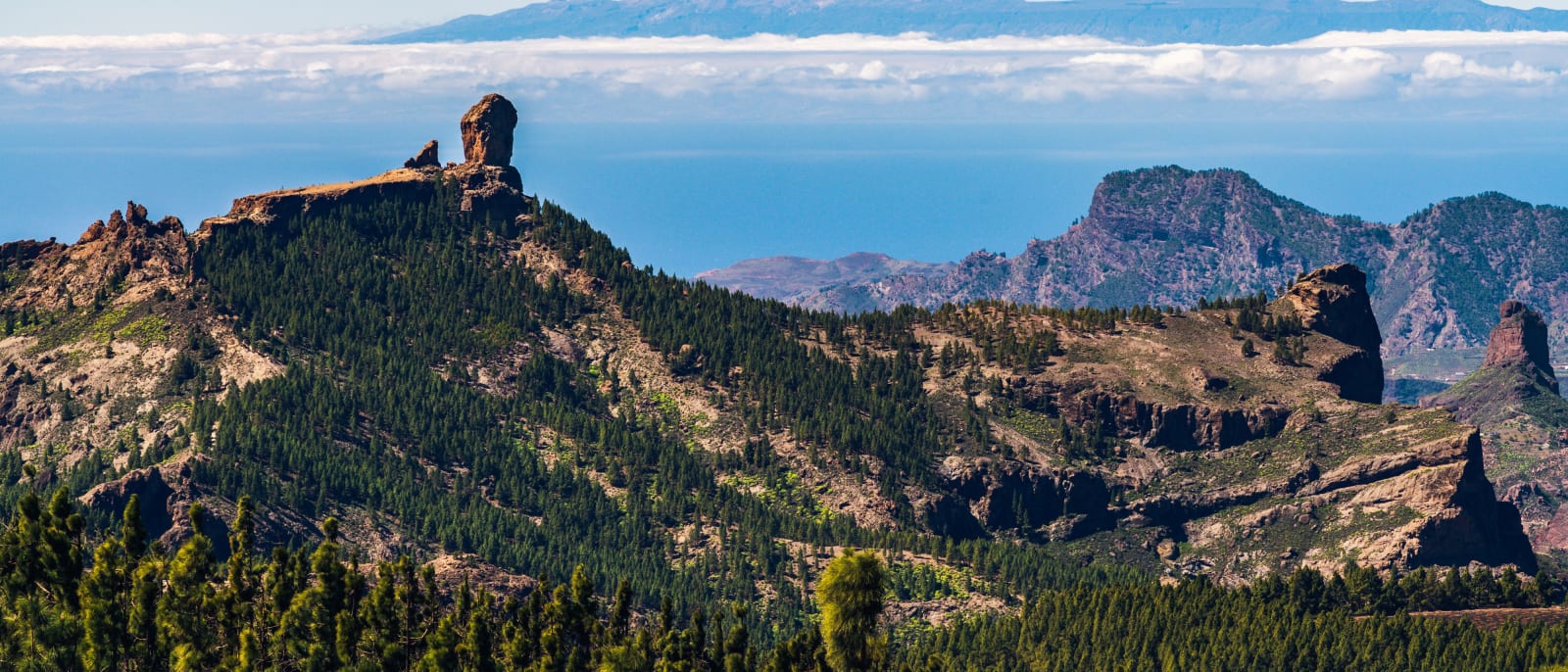
Roque Nublo
The rock pinnacle at the island's centre, a protected natural monument reached on foot by a trail that must be booked.
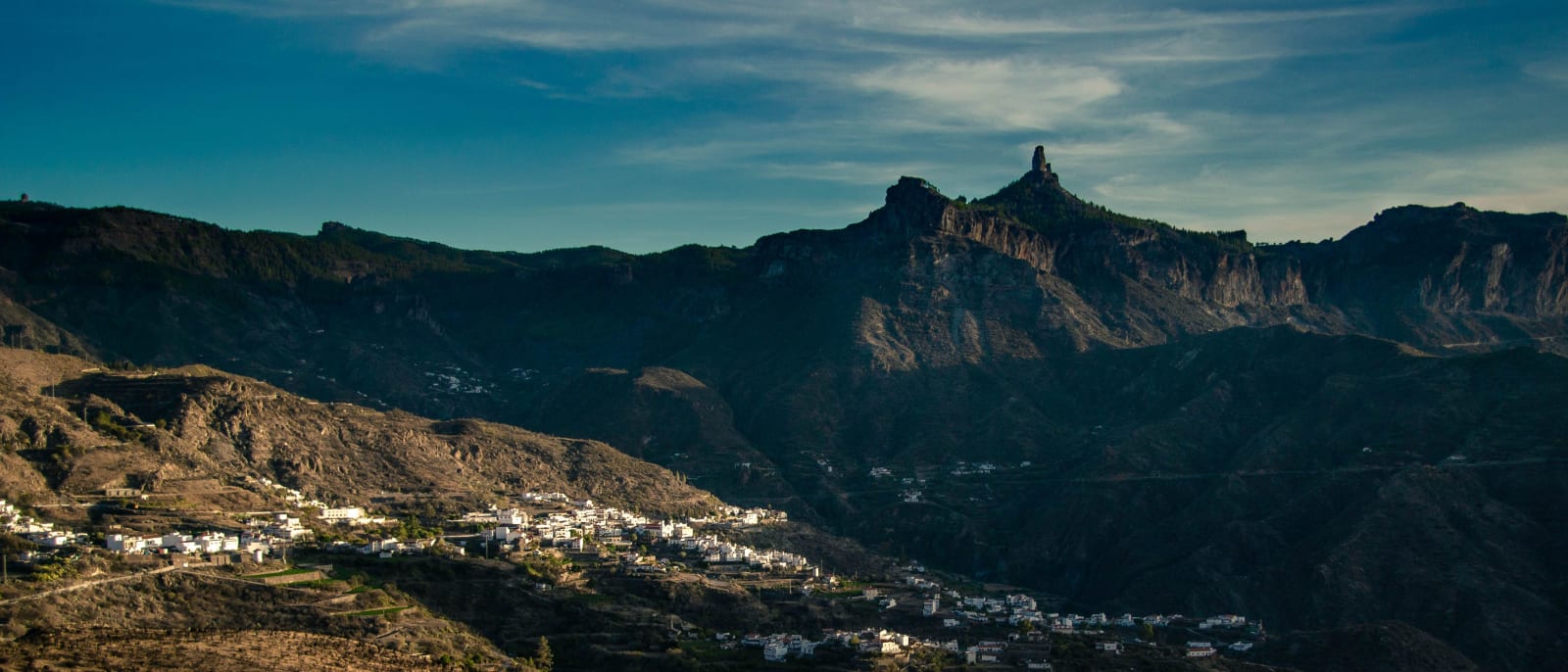
Tejeda
A mountain village at 1,050 metres in the centre of the island, below the caldera's rock pinnacles and Roque Nublo.