Playa del Inglés
Guide to Playa del Inglés
The best-known and most densely populated part of the Maspalomas coast, with a long beach that runs into the protected dunes.
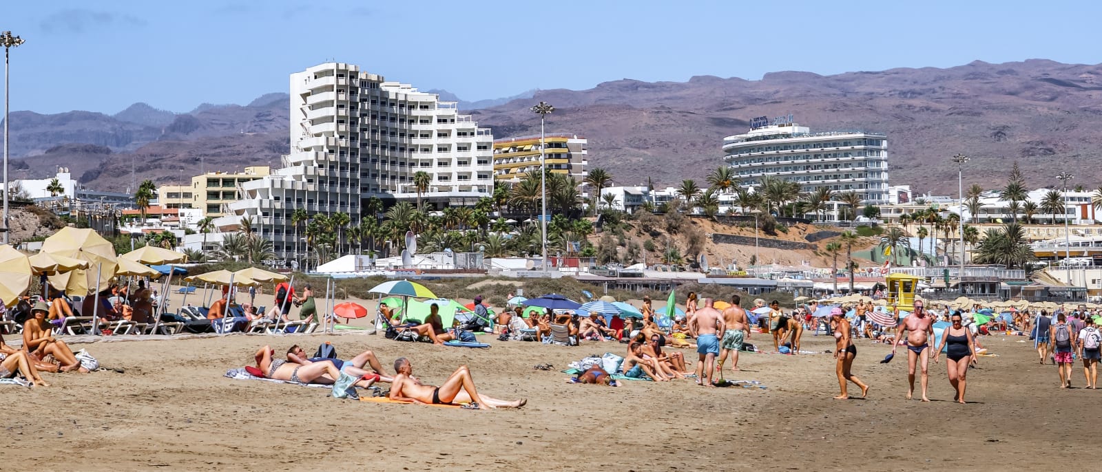
Playa del Inglés sits in the middle of the resort coast in the south of Gran Canaria. It is in the municipality of San Bartolomé de Tirajana, and of the places…Playa del Inglés sits in the middle of the resort coast in the south of Gran Canaria. It is in the municipality of San Bartolomé de Tirajana, and of the places along the Maspalomas coast, which runs without a break from Bahía Feliz and San Agustín in the east to Meloneras in the west, it is the best known and the most densely populated.
Its shape is the thing to understand. The resort is a dense grid of hotels, apartment blocks and commercial centres set back from the sea, with brown mountains rising behind it, and the beach below it runs south and then along the seaward edge of the Maspalomas dunes. Walk the sand from one end to the other and you go from a busy resort front to open beach with the dunes at your back.
San Fernando, just inland, is where the GC-60 begins its climb into the mountains towards Tejeda. From Las Palmas the Cabildo's directions are 55 kilometres down the GC-1 to exit 43, signed for Playa del Inglés and San Fernando.
The practical case for staying here is position. From Playa del Inglés the airport is under half an hour and Las Palmas a little under fifty minutes. Maspalomas is eight minutes along the coast, Meloneras ten, Puerto Rico just over twenty and Puerto de Mogán under half an hour, while Roque Nublo, in the middle of the island, routes at just over an hour. It is not the place for a quiet village; that is what the interior is for.
Nearby places in Gran Canaria
Other places around the bay, sorted by distance.
Maspalomas
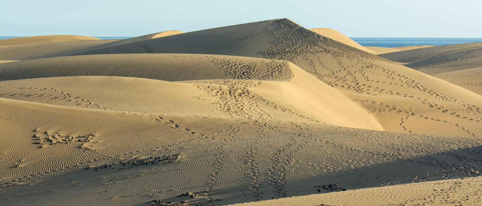
The island's southern tip, where a protected field of sand dunes runs to the sea between Playa del Inglés and the lighthouse.
Meloneras
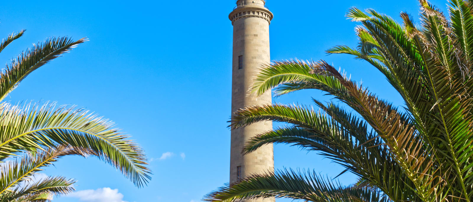
The western end of the Maspalomas coast, the strip between the old lighthouse and Playa de Meloneras, joined by a seafront promenade.
Puerto Rico
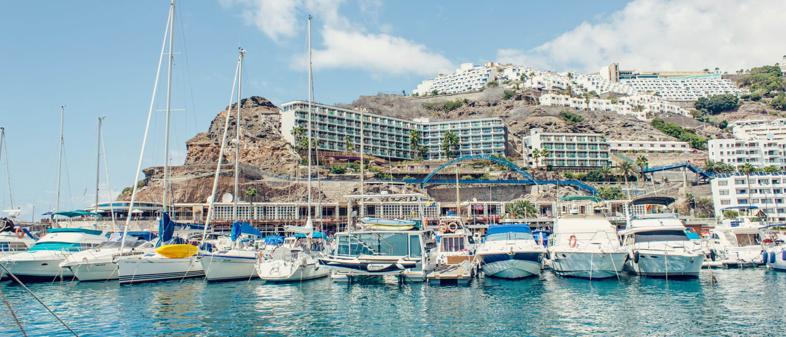
A resort in a valley on the Mogán coast, with apartment blocks stepped up both slopes above its marina and beach.
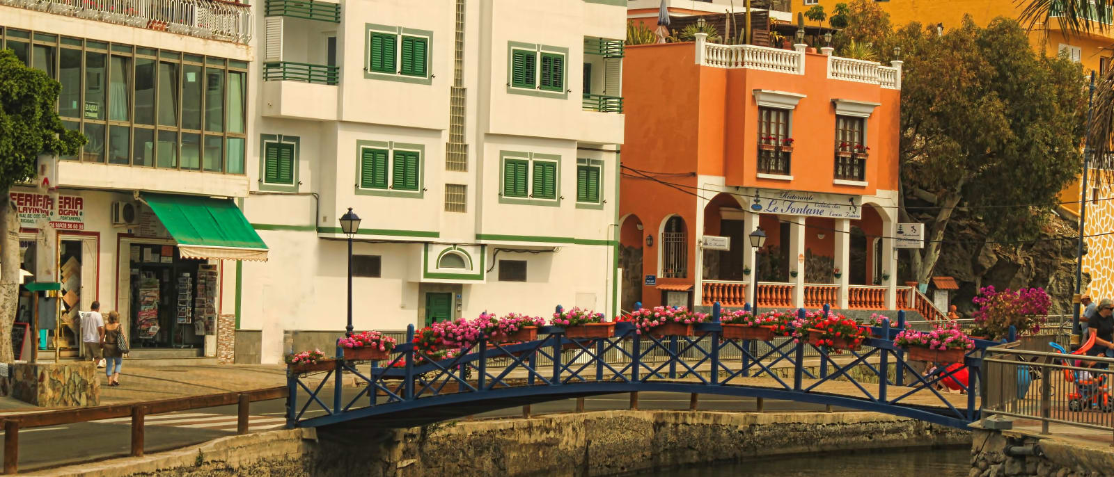
Puerto de Mogán
A harbour resort at the western end of the south coast, built around canals and footbridges, with a street market every Friday.
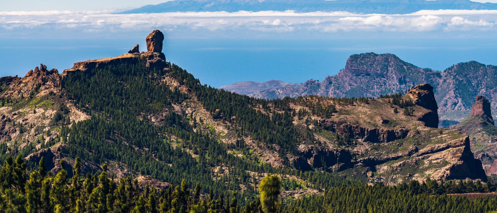
Roque Nublo
The rock pinnacle at the island's centre, a protected natural monument reached on foot by a trail that must be booked.
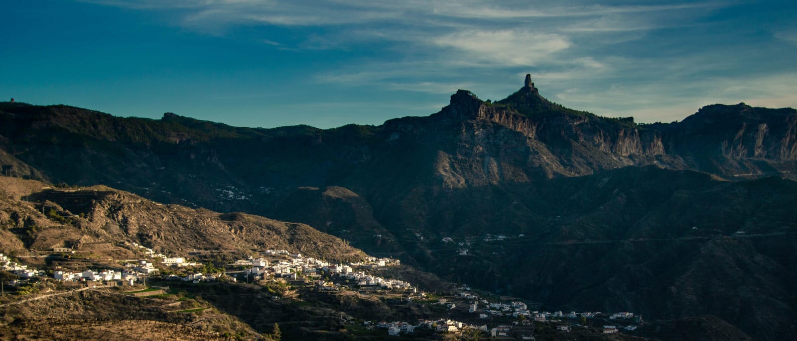
Tejeda
A mountain village at 1,050 metres in the centre of the island, below the caldera's rock pinnacles and Roque Nublo.