Puerto de Mogán
Guide to Puerto de Mogán
A harbour resort at the western end of the south coast, built around canals and footbridges, with a street market every Friday.
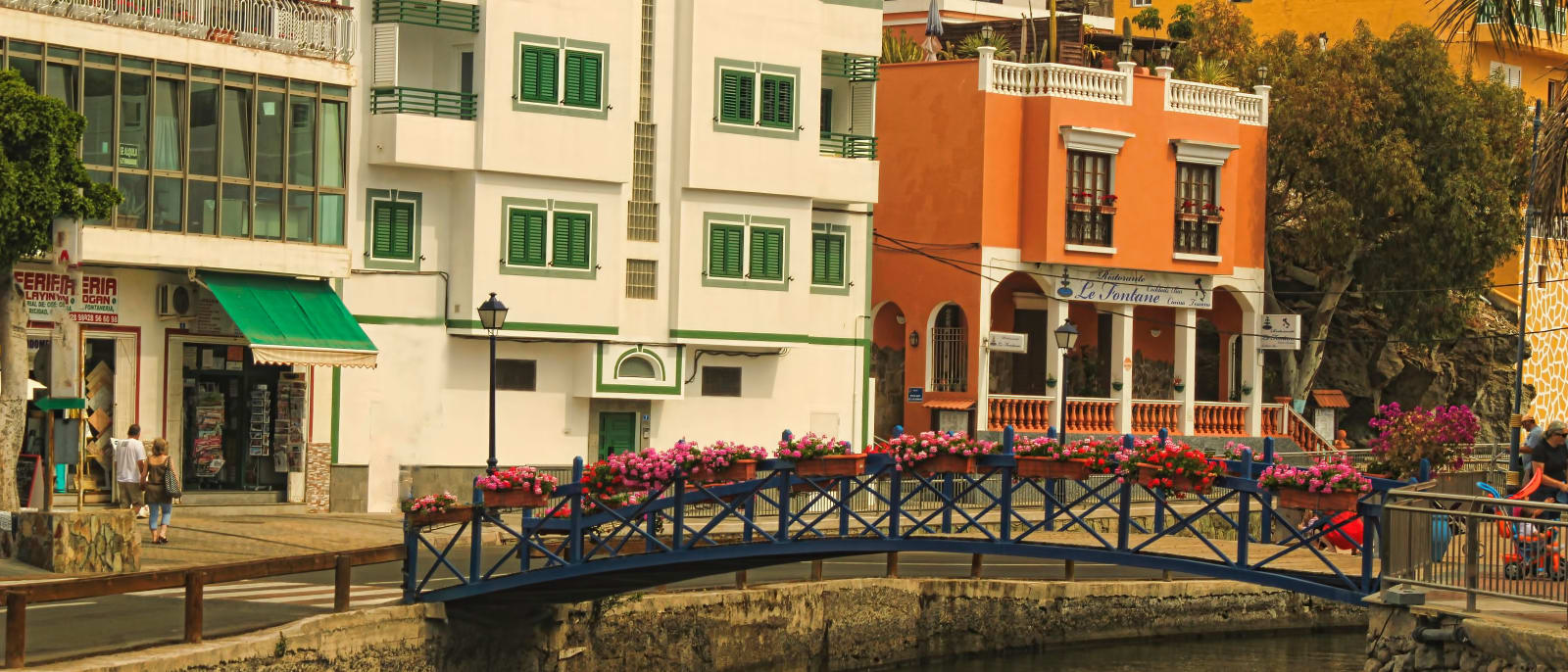
Puerto de Mogán is a locality in the municipality of Mogán, at the western end of the south coast, and it is known as the little Venice of Gran Canaria for its…Puerto de Mogán is a locality in the municipality of Mogán, at the western end of the south coast, and it is known as the little Venice of Gran Canaria for its canals and bridges. It is also where the GC-1 ends: the last extension of the motorway, from Tauro, opened in 2013, and from Las Palmas the Cabildo's directions are 79 kilometres to exit 68, then down towards the sea.
The centre is small and low. Painted houses line the canals, flower boxes hang from the footbridges, and the harbour sits alongside, with a sandy beach, Playa de Mogán, next to it.
The fixed point of the week is the market, held every Friday from 9:00 to 14:00 on the Explanada del Castillete. If you drive in, Mogán charges for blue-zone street parking, and the ticket, paper or electronic, has to show the car's number plate.
It is the end of the line, and the timings reflect that. The drive here takes 17 minutes from Puerto Rico, under half an hour from Maspalomas, about three quarters of an hour from the airport and just over an hour from Las Palmas. The GC-200 carries on up the west coast towards La Aldea, a road that has been closed by rockfalls after heavy rain, and the routed drive from here to Agaete goes back round the island and takes over an hour and a half. As a base it suits people who want a small harbour and plan to stay put.
Nearby places in Gran Canaria
Other places around the bay, sorted by distance.
Puerto Rico
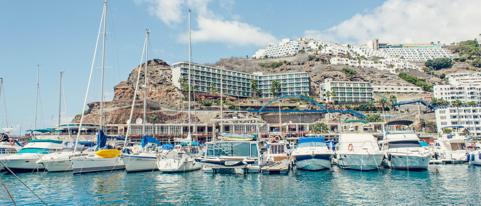
A resort in a valley on the Mogán coast, with apartment blocks stepped up both slopes above its marina and beach.
Meloneras
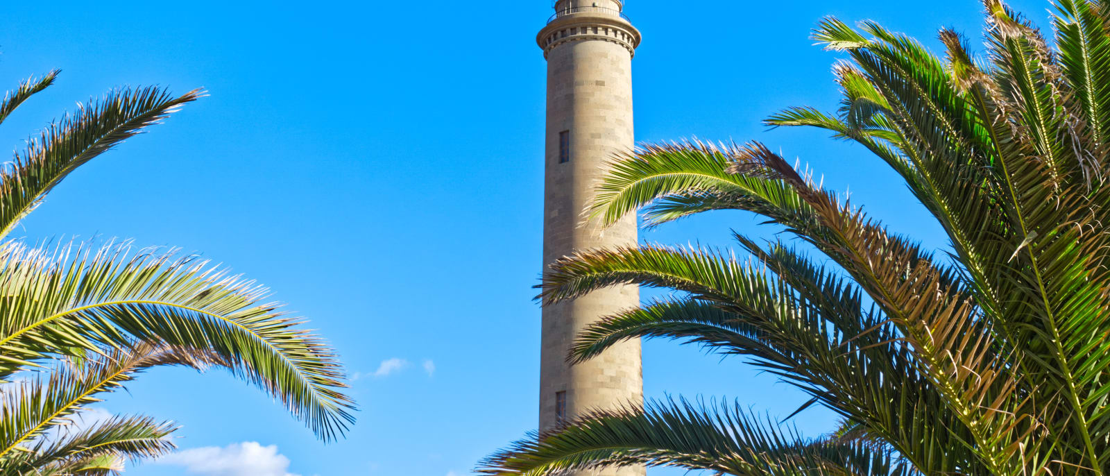
The western end of the Maspalomas coast, the strip between the old lighthouse and Playa de Meloneras, joined by a seafront promenade.
Maspalomas
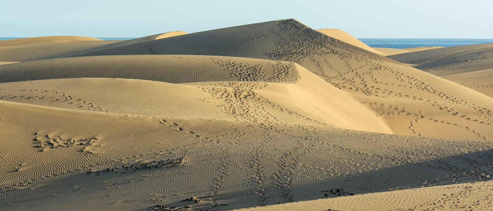
The island's southern tip, where a protected field of sand dunes runs to the sea between Playa del Inglés and the lighthouse.
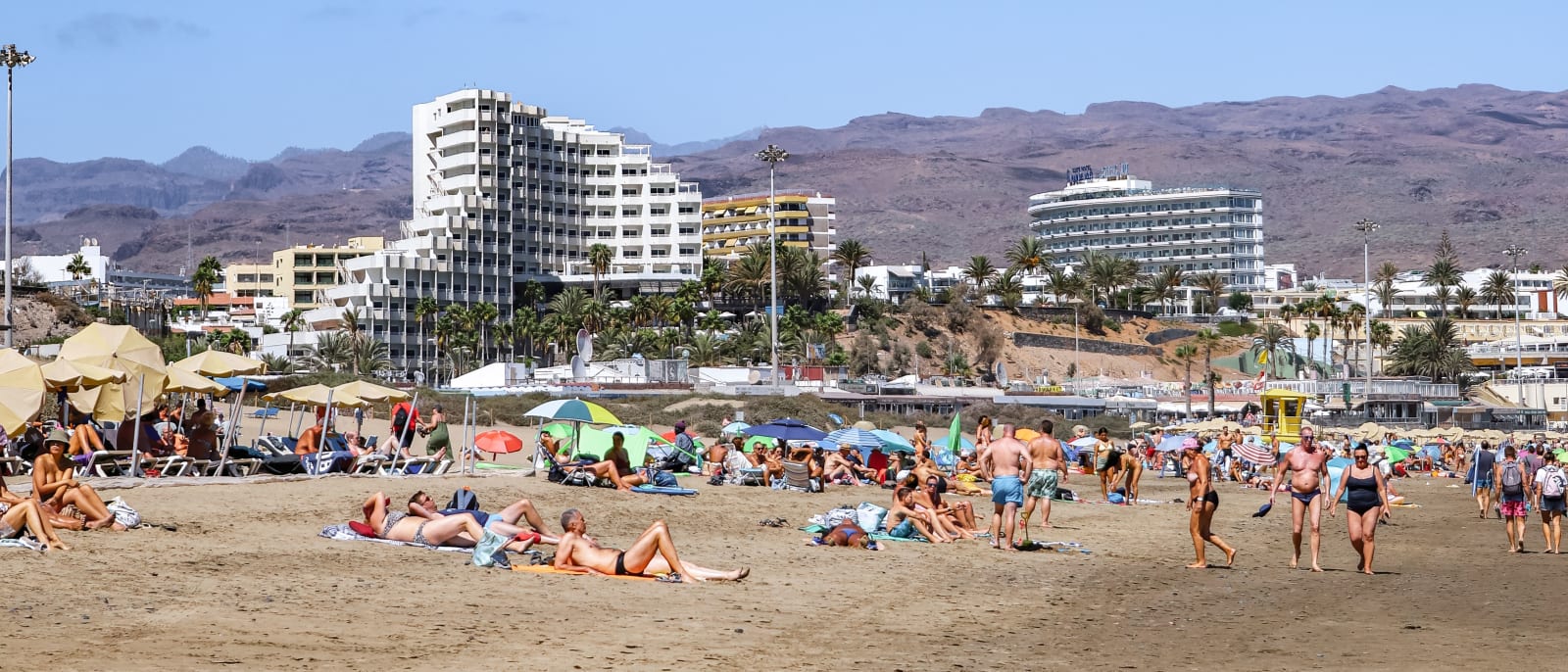
Playa del Inglés
The best-known and most densely populated part of the Maspalomas coast, with a long beach that runs into the protected dunes.
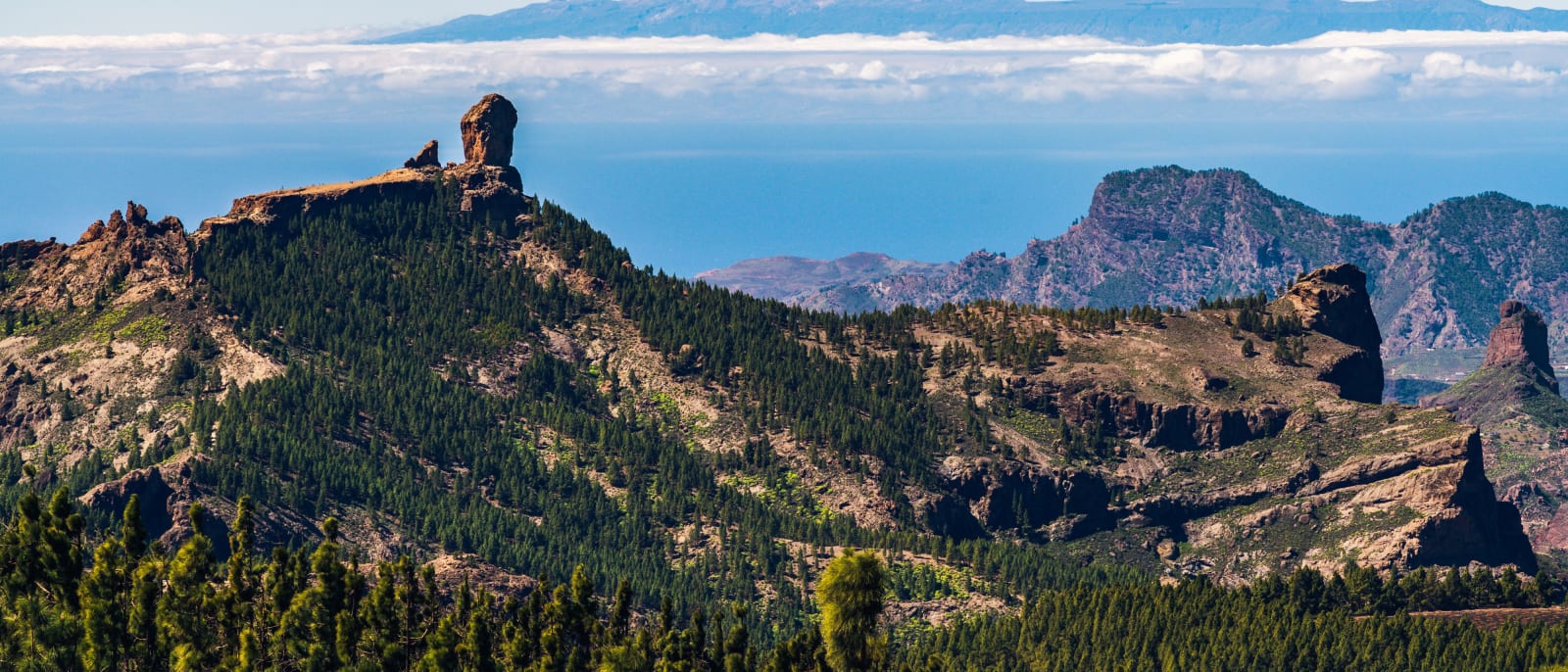
Roque Nublo
The rock pinnacle at the island's centre, a protected natural monument reached on foot by a trail that must be booked.
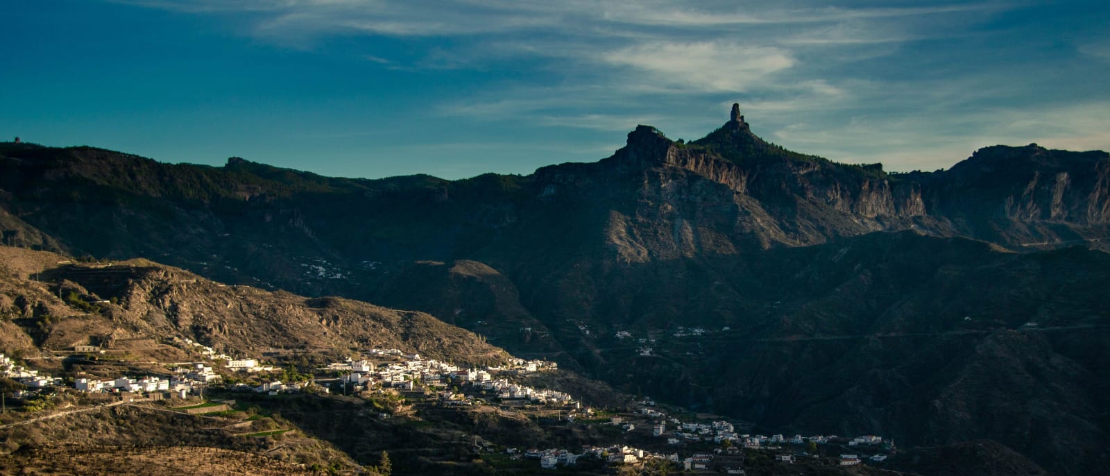
Tejeda
A mountain village at 1,050 metres in the centre of the island, below the caldera's rock pinnacles and Roque Nublo.