The centre of Gran Canaria is a different island from the coast. From the resorts the land climbs through ravines and pine woods to the Caldera de Tejeda, a broken basin of ridges and rock pinnacles at the island's heart, and the roads that reach it are slow for their length.
The signature excursion is Roque Nublo, the free-standing column of rock on the high ground above the village of Tejeda, and it is no longer a matter of driving up and strolling over. Since 3 February 2025 the trail to it has needed a booking, parking around the rock has been prohibited, and visitors reach the trailhead by shuttle bus from a car park or on foot.
The sections below cover the rock and the rules around it, then Tejeda, the viewpoint at Pico de las Nieves and Roque Bentayga, with routed drive times from the coast, the reason those drives take longer than the map suggests, and what to wear for a day that starts on a beach and climbs above 1,400 metres.
Roque Nublo and the booked trail
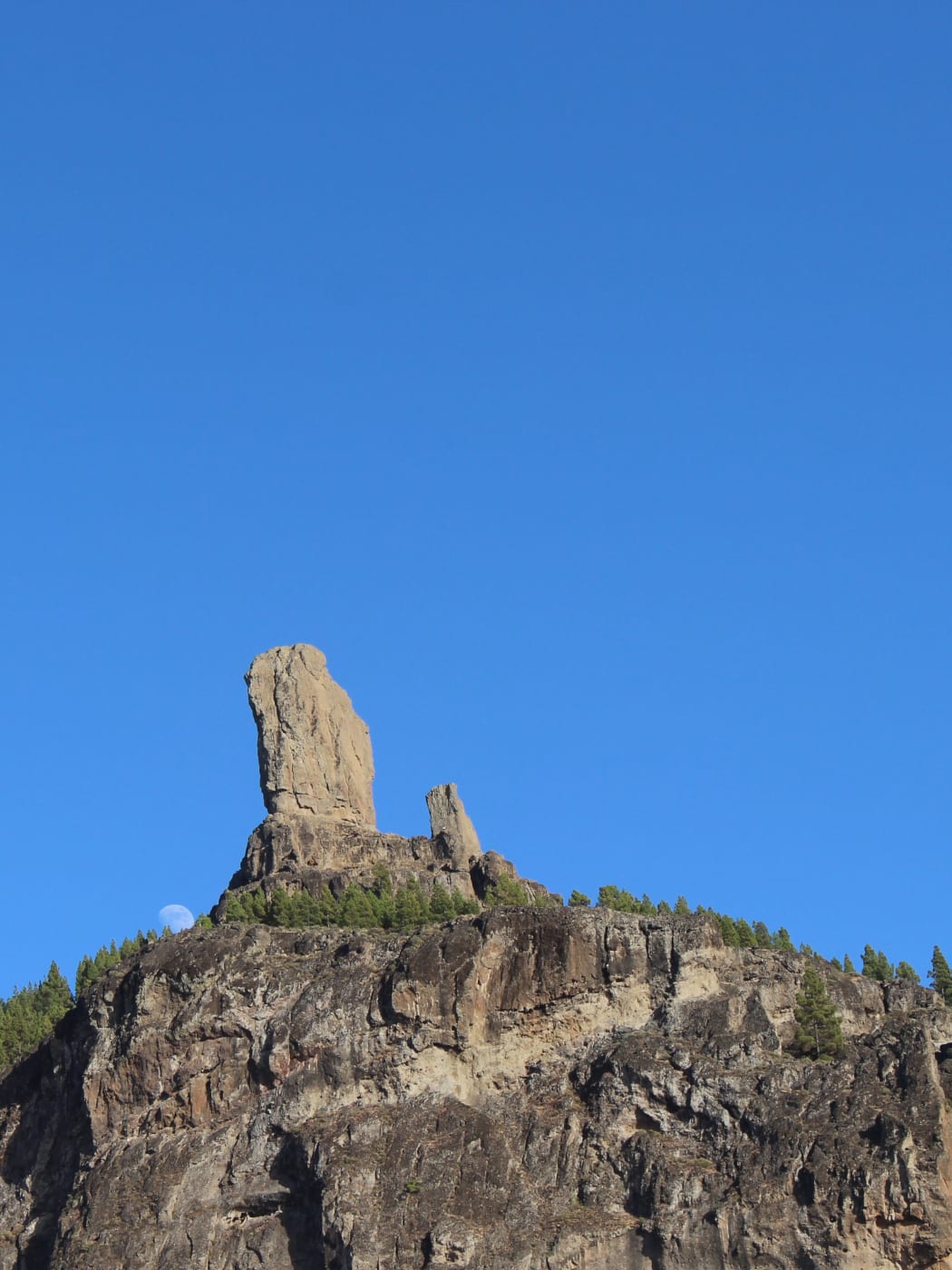
Roque Nublo stands in the municipality of Tejeda, inside the Parque Rural del Nublo, and it was declared a natural monument in 1994. Seen from below it is a tall block of rock on a cliff-edged summit, with a smaller spire at its side and pine woods on the slopes beneath.
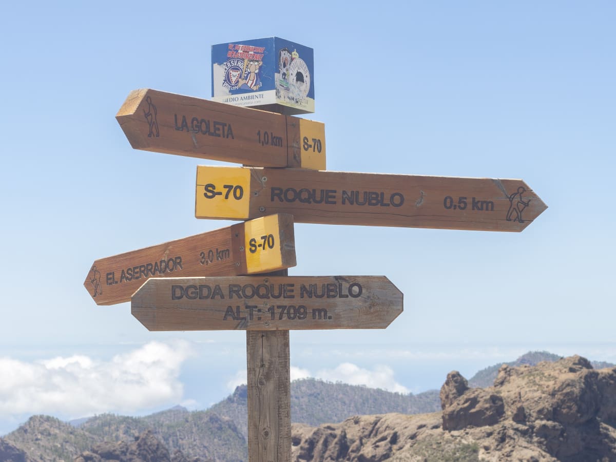
The way to it is the S-70 trail from the Degollada de La Goleta, and access now needs a reservation made in advance through grancanariasenderos.com, the site the island's tourism board directs visitors to. Entry is capped at 60 people an hour and checked with the QR code that comes with the booking, so the code has to be on a phone or on paper at the start of the path.
The hours during which a booking is required have been published differently by different sources, so check them on the booking site when reserving rather than relying on any guide. The rule arrived together with the parking ban below: the Cabildo limited parking around the rock to reduce the environmental impact, keep the area safe and stop the GC-600, the Llanos de la Pez road past the trailhead, from seizing up with cars.
Parking, the shuttle and the walk in
Parking around Roque Nublo is prohibited, and the Degollada de La Goleta, which used to be the main access point, no longer has any parking. Drivers leave the car at one of two park-and-ride car parks instead: in the centre of Tejeda village, or at Cruz de los Llanos.
From both, a shuttle bus runs to the start of the trail. The ride takes about half an hour from Tejeda and about ten minutes from Cruz de los Llanos, and the tourism board says the shuttles run every 30 minutes on a circular route between 9:30 and 18:00. From Cruz de los Llanos there is also the option of walking in by one of several paths, the shortest of which takes about 50 minutes.
Visitors staying on the south coast can leave the car behind altogether. Line 18 runs from the Faro de Maspalomas to the Roque Nublo trailhead and back three times a day, and the trail booking applies whichever way a visitor arrives.
Tours and Things to Do in Gran Canaria
Boat trips, island tours, walking tours and day trips across Gran Canaria, via GetYourGuide.
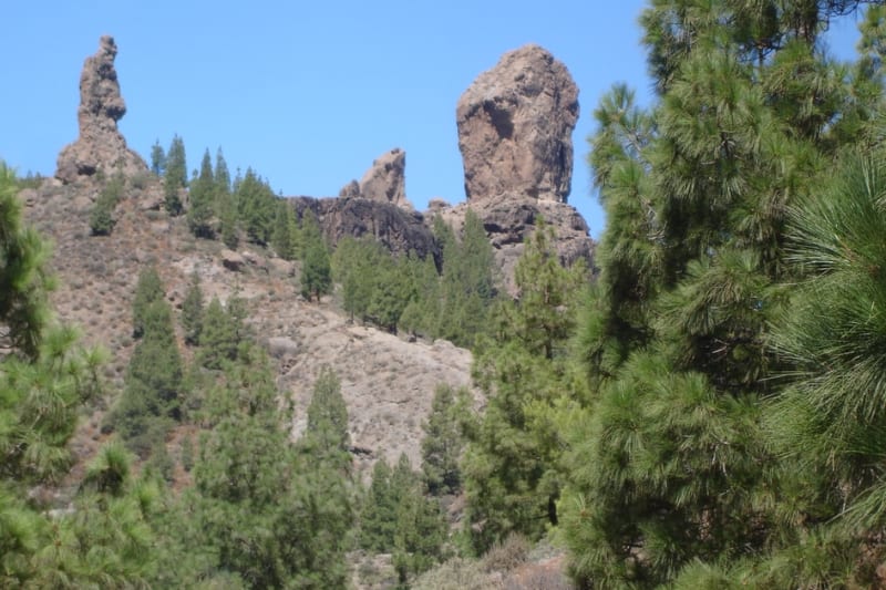
Roque Nublo and Pico de las Nieves day trip
A full day in the mountains from Las Palmas, taking in Pico de las Nieves and Roque Nublo.
Check availability
Guided hike across the peaks
A full day's guided hike across the high peaks at the centre of the island.
Check availability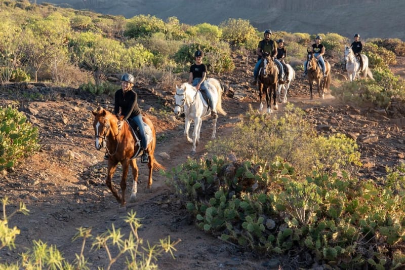
Horse riding on volcanic trails
Horse riding on volcanic trails, with transfer options from the resorts.
Check availability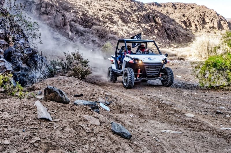
Off-road buggy into the canyons
An off-road buggy drive into the island's canyons.
Check availabilityTejeda, the village below the rock
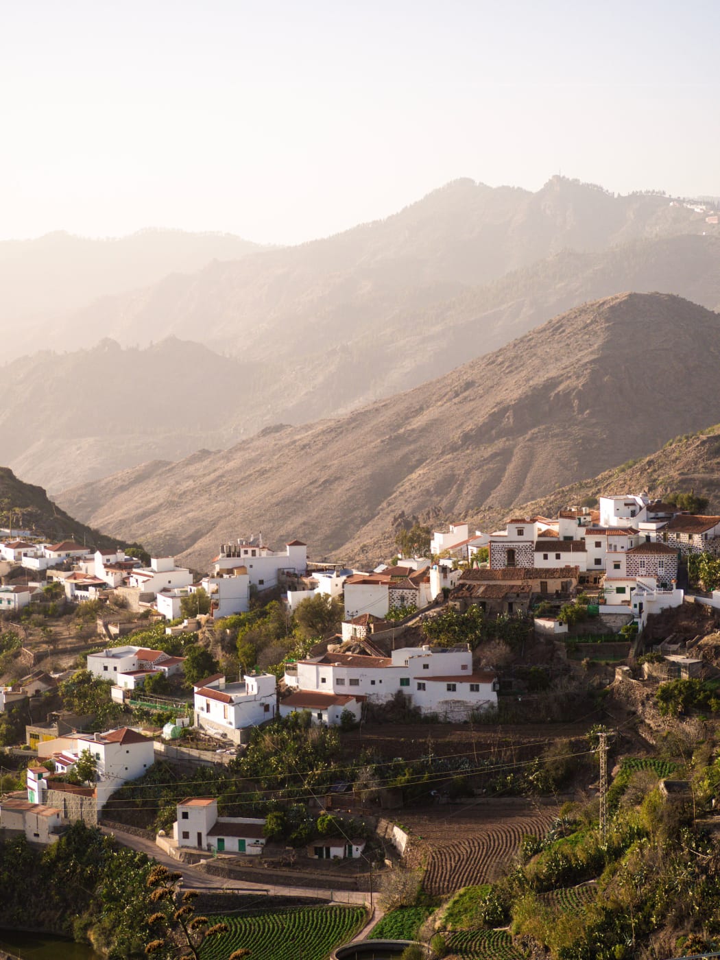
Tejeda is the village at the centre of the island, its centre at 1,050 metres, the second-highest municipal capital on Gran Canaria after Artenara. It is built on a slope facing the caldera, with Roque Bentayga in view across the basin and Roque Nublo on the high ground above. The island's tourism board lists it as one of the most beautiful villages in Spain and says spring brings it into flower, and it is known for its almond trees.
For Roque Nublo it is a practical base as well as a stop. The village car park is one of the two park-and-ride points, with the shuttle taking about half an hour to the trailhead, which gives the day a natural order: park in Tejeda, ride up, walk, and come back down to the village to eat.
Around it, the high points of the centre are close together on the map. Cruz de Tejeda, about 7 kilometres from the village, sits at 1,560 metres, and Artenara, the highest municipal capital on the island at 1,270 metres, lies to the north-west, where cave dwellings are still in everyday use and some are let to visitors. The roads between them are narrow and winding, and every one of these short hops takes longer than it looks.
Pico de las Nieves
Pico de las Nieves is one of the highest points on the island, and its summit marks the boundary of three municipalities: San Bartolomé de Tirajana, Vega de San Mateo and Tejeda. Almost all the land at the very top belongs to the Spanish armed forces, with radar installations, so the place for visitors is the tourism board's viewpoint, the Mirador del Pico de los Pozos de la Nieve, which it puts at about 1,950 metres.
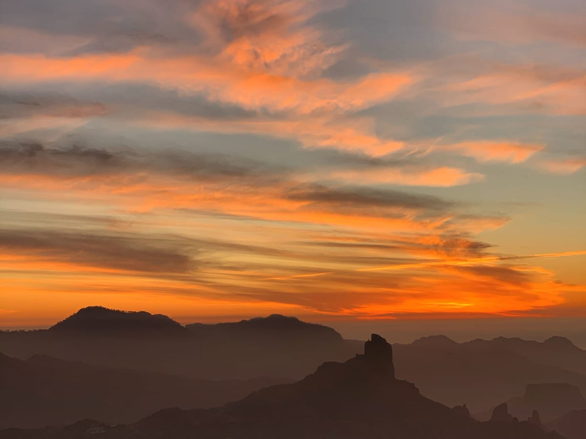
The viewpoint has a car park beside it and a stone-faced semicircle that faces west, across the caldera towards Roque Nublo and the sunset. The name means the peak of the snow wells, which gives a fair idea of what the top of the island can feel like on a winter morning.
From Las Palmas, the tourism board's directions are to leave the GC-1 at the exit for the Carretera del Centro towards Tafira and follow the signs to the centre of the island. Whichever way the drive comes, its advice for the viewpoint is warm clothing, suitable footwear, food and water, because it stands above 1,400 metres.
Roque Bentayga
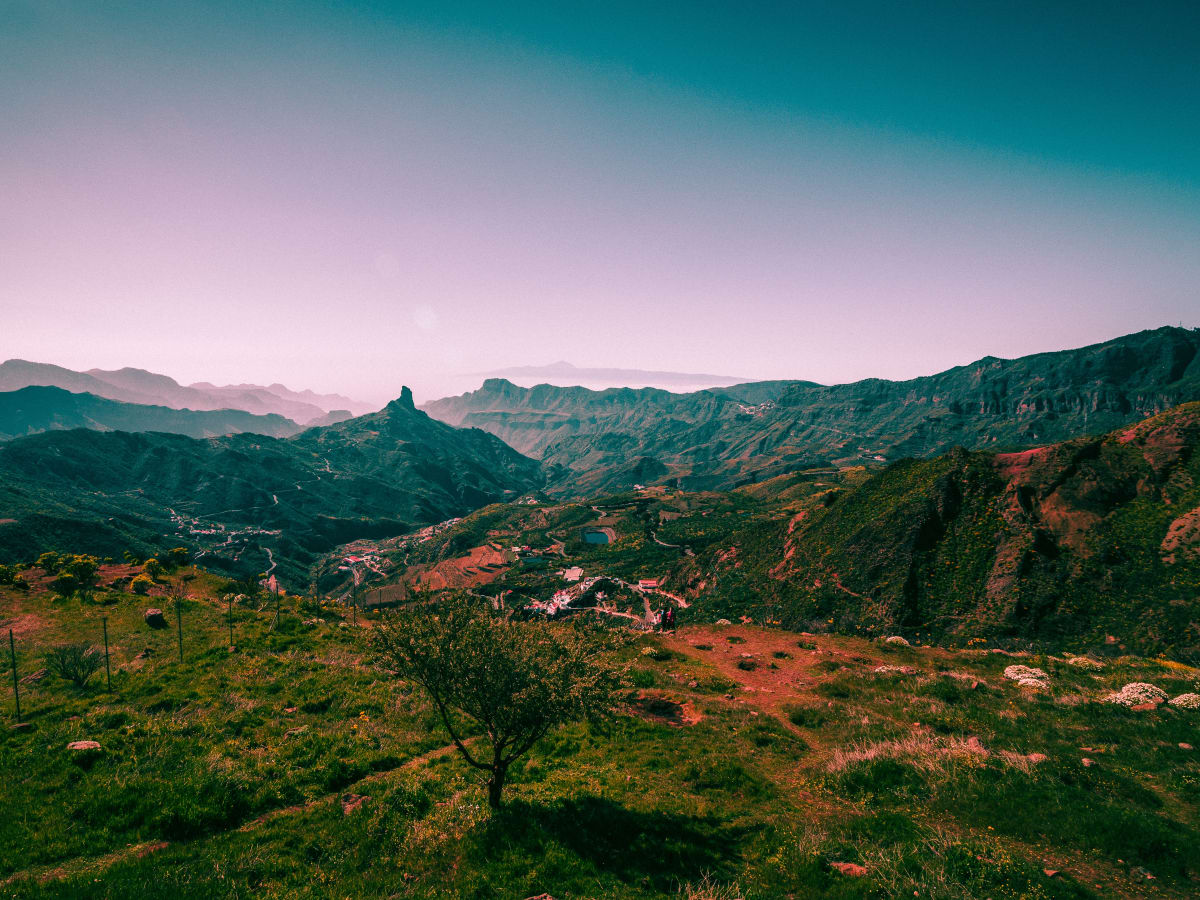
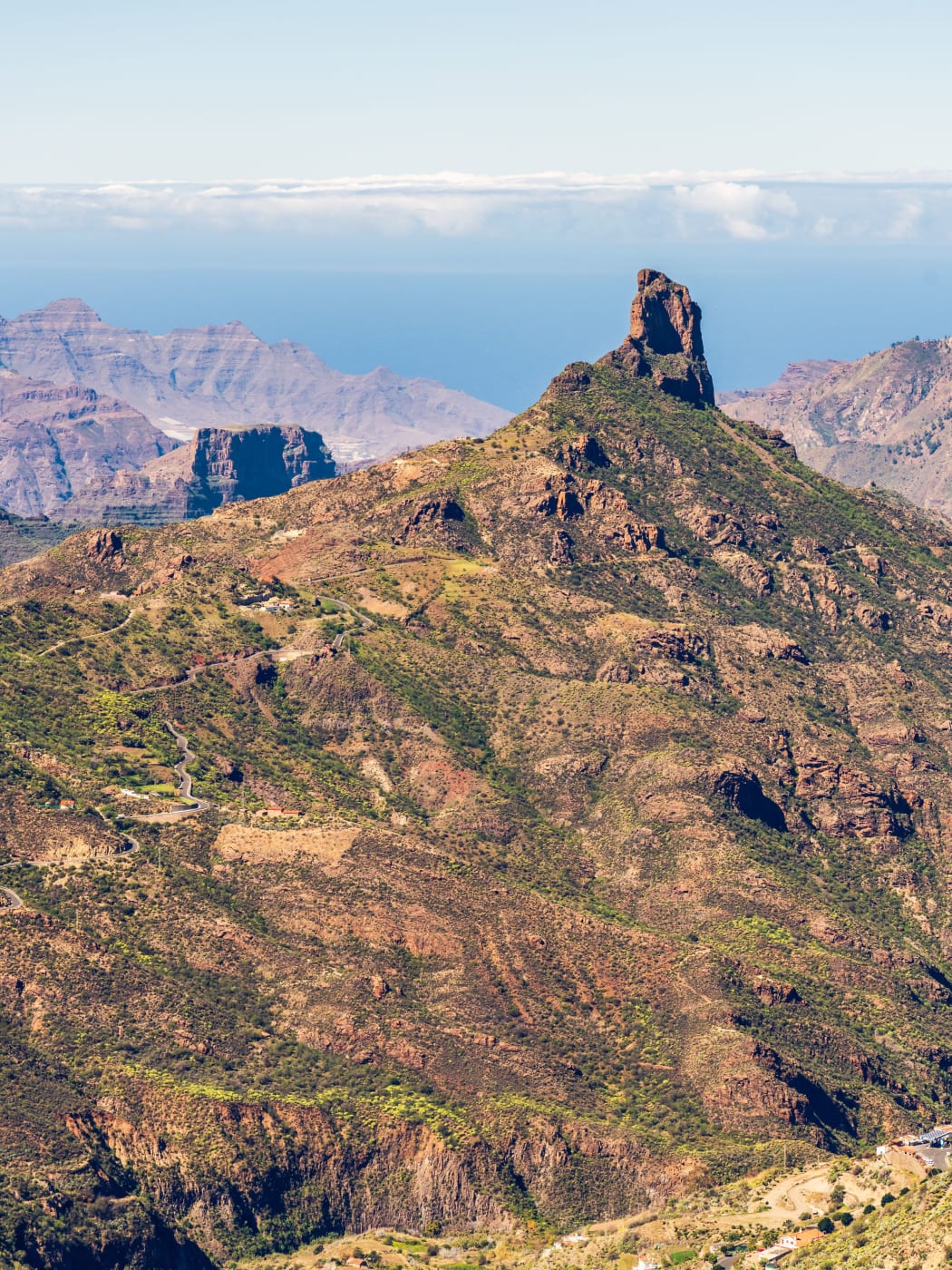
Roque Bentayga is the other great rock of the caldera. Where Roque Nublo stands on the high rim above Tejeda, Bentayga rises from a ridge down in the basin to the west of the village, a massive block on a cone of rock with the ravines falling away on every side.
It is the landmark that ties the views of the centre together. From Tejeda it stands across the basin; from Cruz de Tejeda at dusk it is the dark silhouette in the middle of the view; and from the high ground around Roque Nublo it sits below, with the west of the island and, on a clear day, the sea beyond it.
Reaching it means a drive down into the basin on narrow roads, slower than the distance suggests, like every drive in the centre. A hire car stays on the paved public roads here too: the rental conditions allow nothing else, and the caldera is crossed by dirt tracks that look like shortcuts on a map.
Drive times, and why the mountain roads run slow
Routed drive times to Roque Nublo, taking the fastest car route:
- From the airport: 66 minutes, 50.9 km
- From Playa del Inglés: 62 minutes, 40.2 km
- From Maspalomas: 65 minutes, 42.3 km
- From Meloneras: 67 minutes, 43.9 km
- From the centre of Las Palmas: 69 minutes, 47.1 km
- From Teror: 53 minutes, 33.5 km
These times run to the Roque Nublo area itself. Since parking there is prohibited, in practice the drive ends at Tejeda or Cruz de los Llanos, and the shuttle ride or the walk comes on top.
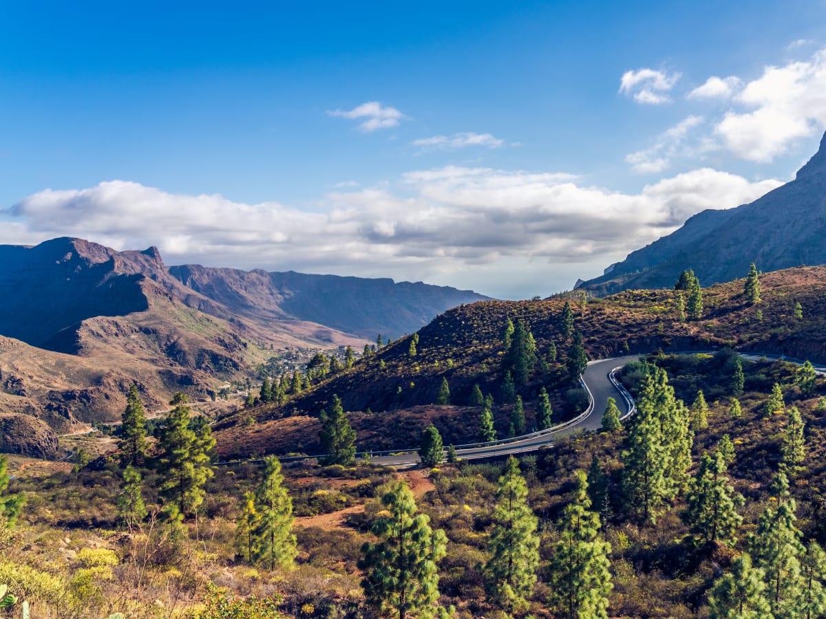
The numbers make the case on their own. From the airport, Puerto de Mogán is 54.8 kilometres away and takes 45 minutes; Roque Nublo is nearer, at 50.9 kilometres, and takes 66. The interior costs more time for every kilometre because the roads are narrow, steep and full of bends, not because of traffic. The main routes in are the GC-60, the Tejeda to Maspalomas road, which runs 48.3 kilometres from Las Crucitas down to San Fernando beside Playa del Inglés; the GC-15 from Santa Brígida, 28.6 kilometres; the GC-21 from Las Palmas to Artenara; and the GC-600, which passes the Roque Nublo trailhead and meets the GC-60 at Ayacata.
Spain's general limit on conventional roads is 90 km/h, and on these roads it is a ceiling, not a pace. They also close. After storm Therese in March 2026 the Cabildo closed several roads, the GC-60 near Timagada among them, and the press advises checking the DGT and the Cabildo, which manages the island's roads, before setting out.
Two more points for drivers. A round trip from the airport to Roque Nublo is about 100 kilometres by the routed distance, which counts against any daily mileage limit on a hire car. And overtaking a cyclist means leaving at least 1.5 metres, a rule already in force; from 1 October 2026, a driver overtaking a cyclist on an interurban road must also slow to at least 20 km/h below the road's limit.
What to wear and take
The day starts warm on the coast and ends high and exposed, so dress for both. The tourism board's advice for the viewpoint at the Pico de los Pozos de la Nieve, above 1,400 metres, is warm clothing, suitable footwear, food and water, and the same advice fits the Roque Nublo path and Cruz de Tejeda. A fleece or a windproof layer left in the car is the simple answer to a summit that is colder than the beach below.
For the trail itself, wear walking shoes with grip rather than sandals, because the ground around the rock is bare rock and loose stone. Carry water and sun protection, because the plateau at the foot of Roque Nublo is open and has little shade, and keep the QR code from the booking where it can be shown at the start of the path.
In winter, add a warm hat and gloves for an early start, and check the road status the evening before. The mountains are close to every resort on the map, but they are a full day out, and they reward a visitor who plans the booking, the car park and the clothing before leaving the coast.


