Gran Canaria does not have one kind of beach. The island is round, with mountains in the middle, and each stretch of its coast faces a different sea and a different sky. The capital has a city beach with a promenade and flats behind it. The south has a long resort beach running beside a field of protected sand dunes. The south-west has smaller beaches set into bays and harbours, and the north-west has pools in the rock instead of sand.
Choosing well is a matter of matching the beach to the trip: calm water for small children, a swim before breakfast for someone based in the capital, open sand and a long walk for everyone else. The sections below take the main beaches in turn, say plainly what the sand, the sea and the shelter are like, and end with the catches.
North and south: two different coasts
The weather is not the same all round the island. The prevailing wind is the north-east trade wind, and it pushes cloud against the northern slopes, which is the side Las Palmas faces. The south lies in the shelter of the mountains and is the drier, sunnier side, and that is where the big resorts are. A grey morning at Las Canteras and sunshine in Maspalomas on the same day is normal, not bad luck.
The sea changes with the coast as well. A beach that faces the open Atlantic takes the swell, and on the long beach by the dunes that means waves breaking straight onto the sand. The bays and harbours of the south-west are better sheltered, and that is where the calmer water is. No beach here is a lagoon, though: it is the open ocean on every side, and even a quiet bay changes when a big swell arrives.
Las Canteras, the city beach
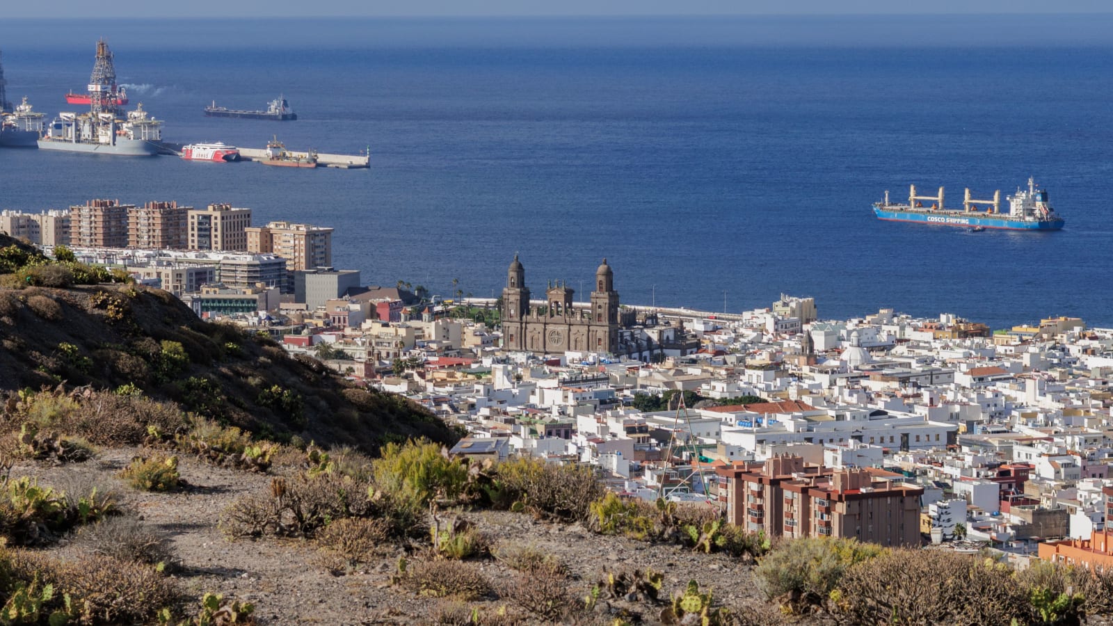
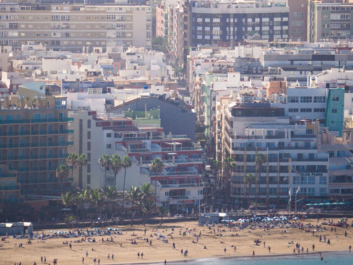
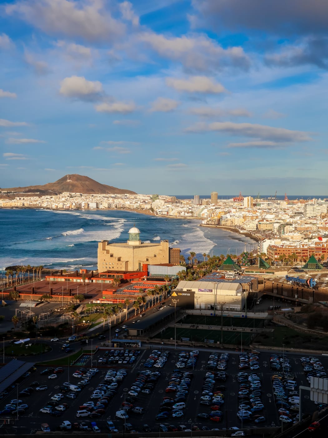
The capital's own beach is urban in every sense: a long curve of sand with a promenade along it and flats, hotels and cafés on the landward side. The sand faces west from the neck of land that ties La Isleta to the rest of Las Palmas, and the port lies on the other side of that neck. The neighbourhoods behind the promenade, Santa Catalina and Guanarteme, are where to stay for the sea on the doorstep.
Offshore, a natural bar of rock runs parallel to part of the beach and takes the force out of the swell, so the water inside it is calmer than the open coast. Towards the south-western end, by the concert hall, that shelter runs out and the waves come through, which is why that end draws surfers rather than paddlers. The rule for a swim is to stay where the bar protects the water and to check the flag first.
It suits anyone staying in the capital, and anyone who wants a swim, a walk and a city in the same day. It suits less well a visitor chasing guaranteed sun, because this is the cloudier side of the island, and a driver hoping to park beside the sand. In the centre, blue street bays are paid, with a two-hour limit, and green ones are kept for residents. The drive from the airport takes under half an hour, so reaching the beach is easy; parking beside it is not.
Playa del Inglés and Maspalomas: the long beach by the dunes
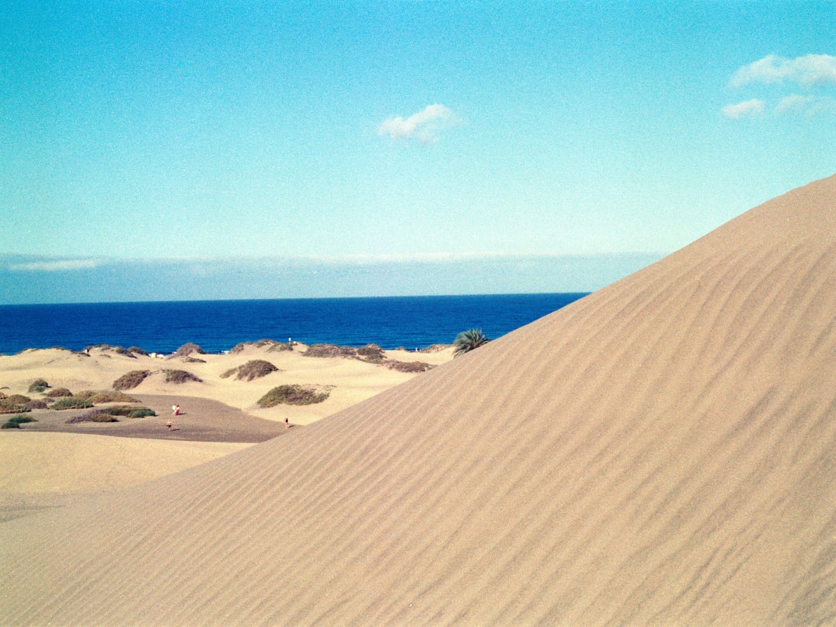
The south coast's big beach starts below Playa del Inglés and runs south, then west along the sea side of the Maspalomas dunes as far as the lighthouse. Playa del Inglés is the most widely known name on this coast and its most densely populated part, a block of hotels, apartments and shopping centres standing back from the shore, so the beach begins as a busy resort front. Walk on and the buildings drop away behind the dunes, until there is open sand on one side and the reserve on the other.
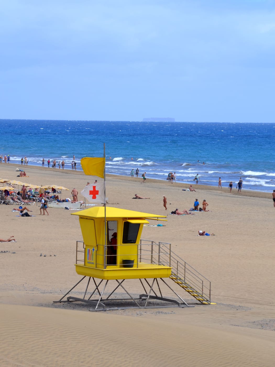
The sand is fine and golden and the beach is wide, with rows of sunbeds and umbrellas near the resort end and plenty of room beyond them. The sea is the open Atlantic, and the waves break directly onto the beach. Strong swimmers enjoy it; small children need a hand at the water's edge. Before going in, look at the flag flying at the lifeguard post, and treat a red flag as a closed sea.
Getting there is easy. From the airport, Playa del Inglés is 27 minutes and Maspalomas 30 by the routed drive, and each has its own motorway exit off the GC-1: number 43, signed for Playa del Inglés and San Fernando, and number 46 for Maspalomas. The two are eight minutes apart by road, so the choice between them is about which end of the same beach to start from. This is the beach for a long walk, a full day in the sun and space to spread out. Sheltered water is found elsewhere.
Walking in the dunes: the rules
The dunes behind the beach, the Dunas de Maspalomas, are protected as a Reserva Natural Especial covering 403.9 hectares in San Bartolomé de Tirajana, with a lagoon, the Charca de Maspalomas, inside its boundary. The Cabildo and the town council have said the dunes will not be closed to the public, and they can be crossed on foot, but only on the marked routes: about eight kilometres of paths, lined with bollard signs.
Leaving those paths is the thing not to do. Since April 2022 signs in the reserve have warned that stepping off the marked trail, or striking out across the sand, is not allowed, and camping in the reserve is prohibited too. The rules are there to protect a shrinking reserve: the Cabildo estimates that about 45,000 cubic metres of its sand are lost every year to the sea floor, and keeping to the paths is part of looking after what remains.
On the marked paths the walk is still worth doing, with a few precautions. There is no shade at all in the dunes, the sand gets hot underfoot in the middle of the day, and there is no water on the paths, so go early or late and carry a bottle. Drivers heading for the reserve or the promenade at Meloneras can leave the car in the pay car park beside the lighthouse, which its operator presents as the place to park for both.
Tours and Things to Do in Gran Canaria
Boat trips, island tours, walking tours and day trips across Gran Canaria, via GetYourGuide.

Catamaran dolphin cruise with a snorkel stop
A catamaran cruise watching for dolphins, with a stop in the water to snorkel.
Check availability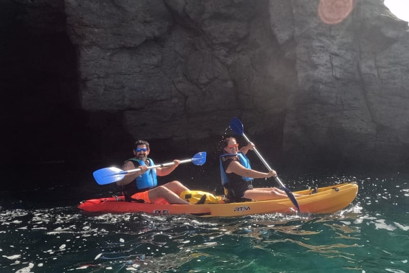
Kayak to the sea caves at Mogán
Paddle a kayak from Mogán to sea caves along the coast, then snorkel, with a guide.
Check availability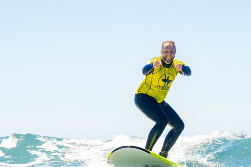
Surf classes at Playa del Inglés
Surf classes on the beach at Playa del Inglés.
Check availability
Puerto Rico boat day with paddleboards and snorkelling
A boat day from Puerto Rico with food and drinks, paddleboards, surfing and snorkelling.
Check availabilitySan Agustín, the quieter east end
The Maspalomas coast runs without a break from east to west: Bahía Feliz, Playa del Águila, San Agustín, then Playa del Inglés, which is the most densely populated of them all. San Agustín sits just east of it, in the same municipality, and it is the choice for visitors who want the south coast's weather with less density around them.
Its beach lies below the resort rather than beside open dunes, and it is much smaller than the long run at Maspalomas, which makes it easier to settle into for a morning with children or a book. From Las Palmas, the Cabildo's directions take the GC-1 for 42 kilometres to exit 37, signed for San Agustín and Bahía Feliz, and from the airport it is 26 minutes by the routed drive, with Bahía Feliz closer still at 20. For a short break, that saves time on the road, and the long beach is a short drive west.
Meloneras, by the lighthouse
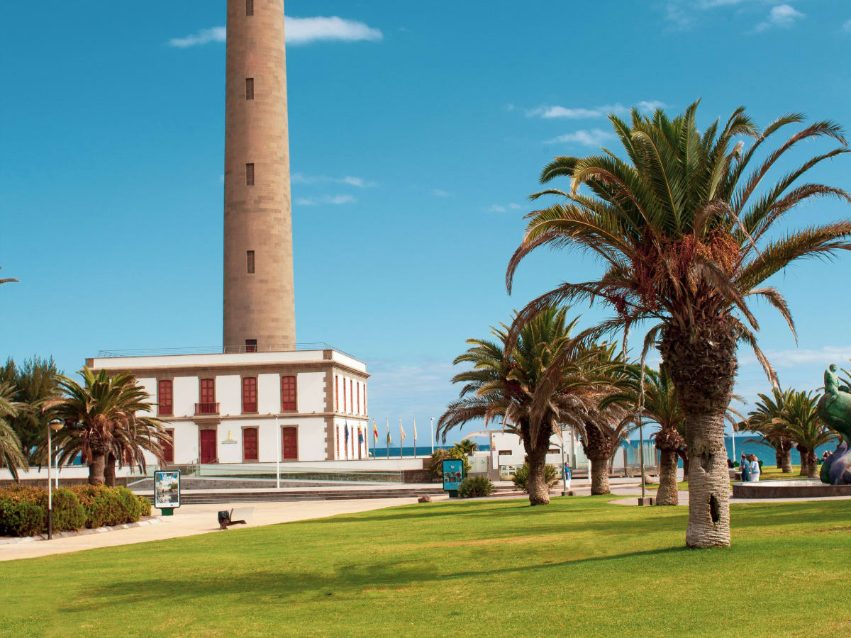
Meloneras is the western end of the same coast, the stretch running from the Faro de Maspalomas west to Playa de Meloneras. The lighthouse is the landmark, a tower 54.7 metres high that first lit up on 1 February 1890 and still works, and from it a promenade follows the shore west to the beach. The dunes begin on the other side of the lighthouse, so the reserve and the long beach are both on foot from here.
Playa de Meloneras, at the end of the promenade, is a smaller beach than the run in front of the dunes, and the promenade is as much the point of staying here as the sand. Motorway exit 50, signed for Pasito Blanco and Meloneras, serves it, and the airport is 31 minutes away by the routed drive. From Meloneras, Maspalomas is five minutes by road and Playa del Inglés ten: the old coast road through the resorts is slower than the map suggests.
Puerto Rico, Amadores and Puerto de Mogán: the sheltered south-west
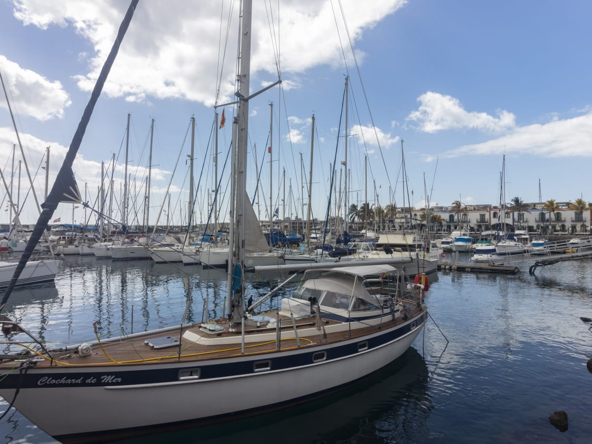
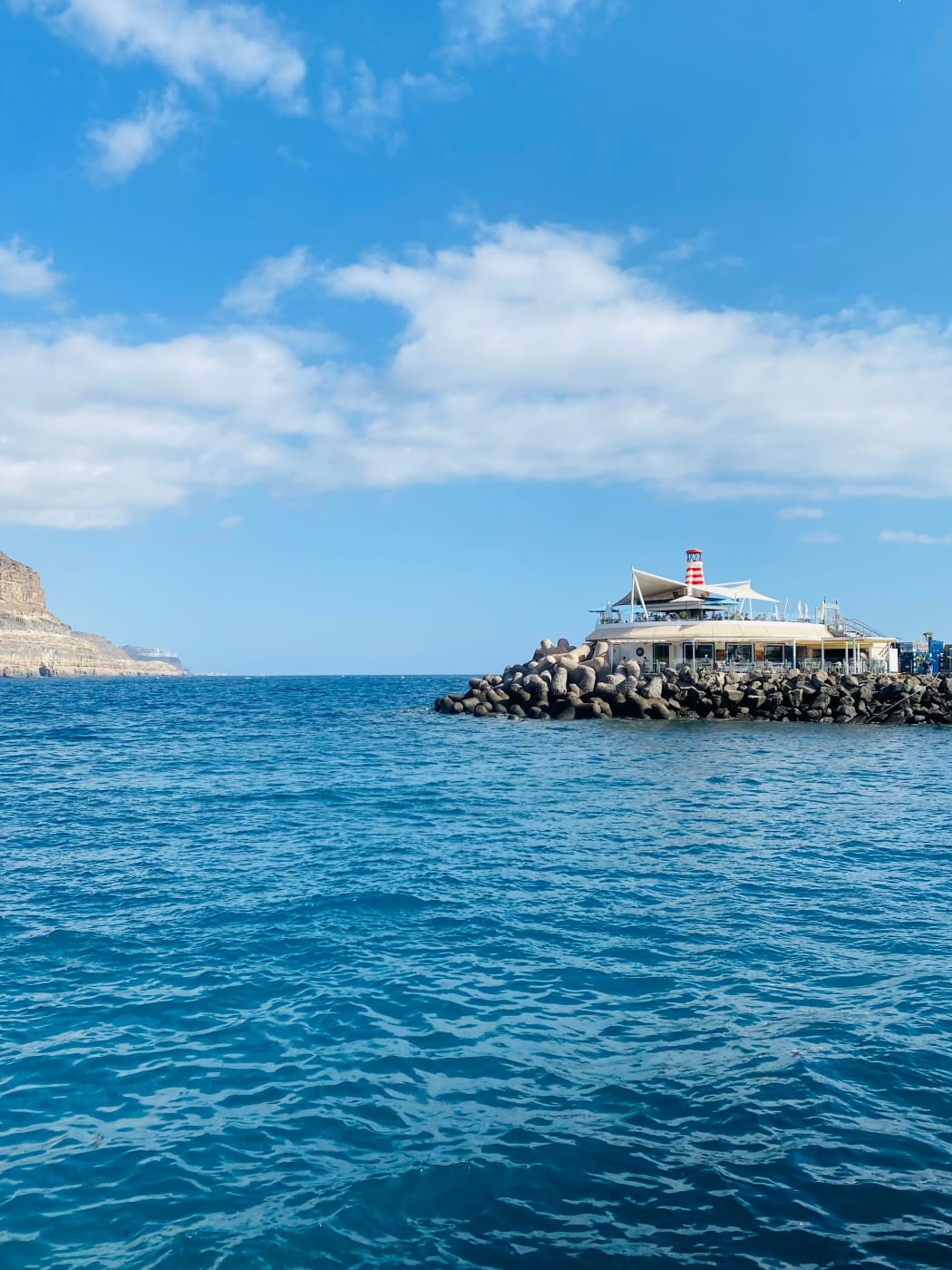
West of Meloneras the coast turns into cliffs and valleys, and the beaches become smaller and better protected. Puerto Rico, in the municipality of Mogán, is a resort built into a valley running down to the sea, with the beach and the marina at the bottom and apartments climbing the slopes on both sides. The island's tourism board calls its beach very safe and ideal for swimming, which makes it the obvious choice for families with young children. The catch is the valley itself: everything above the beach is a climb.
Playa de Amadores lies round the next headland to the west, a curved beach held in place by breakwaters, with calm water for the same reason. Further west again, where the GC-1 finally ends, is Puerto de Mogán, a small harbour town of canals and footbridges, nicknamed Gran Canaria's little Venice. Its sandy beach, Playa de Mogán, lies next to the harbour.
From the airport Puerto Rico is 39 minutes and Puerto de Mogán 45 by the routed drive, and the drive on from Puerto Rico to Puerto de Mogán is 17 minutes. The GC-1 exits are 62 for Puerto Rico and 68 for Puerto de Mogán. Mogán's blue zone is paid, and whether the ticket is printed or virtual it must carry the car's registration, so have it to hand when paying. This is the coast for calm water and sun; surfers should look elsewhere.
The rock pools at Agaete
For something other than sand, drive to Agaete in the north-west. Below the town is Puerto de las Nieves, and the tourism board's picture of it is a small fishing port: cafés along the quay, pools in the rock, and the evening sun going down beside an enormous cliff it calls the dragon's tail. The pools are filled by the sea and sit among the rocks rather than on a beach.
Go prepared for rock rather than sand: shoes that can get wet make getting in and out easier, and there is little shade. This is the north side of the island, more exposed than the south, and when a big swell runs the sea can break over pools that were calm the day before, so look at the water before getting in.
Agaete suits a day out from Las Palmas better than one from the south. From the capital the Cabildo sends drivers 35 kilometres along the GC-2 and then down the GC-172 to the port, and by the routed drive it is about 35 minutes from central Las Palmas. From the airport it is 54 minutes and from Maspalomas 77. Do not plan to reach it along the west coast from Puerto de Mogán: the routed drive between the two loops back round the island and takes 93 minutes.
Which beach suits whom
- Staying in the capital, or wanting a city and a swim in one day: Las Canteras, inside the rock bar.
- A long walk and a big beach: Playa del Inglés and Maspalomas, starting from either end.
- The dunes: Maspalomas, on the marked paths only.
- Young children and calm water: Puerto Rico and Amadores, in the south-west.
- A promenade and a quieter base by the lighthouse: Meloneras.
- A short run from the airport: San Agustín, with Bahía Feliz nearer still.
- Something other than sand: the rock pools at Puerto de las Nieves, Agaete.
The catches
The flag matters more than the forecast. The Atlantic can be flat in the morning and rough by the afternoon, and the open beaches in front of the dunes take the full swell. A red flag means no swimming, whatever the sky looks like.
Shade is scarce. Sunbeds and umbrellas stand in rows near the resort ends of the big beaches, but the dunes have no shade and the rock pools little. The sun is strong all year in the south, so plan the middle of the day around it.
Parking is paid where it is busiest. Las Palmas and Mogán both charge for blue-zone bays, and a ticket only counts if it carries the car's registration. In the capital the two-hour limit is shorter than a beach day.
A grey north is not a lost day. The south is often clear when the capital is not, and the routed drive from Playa del Inglés into central Las Palmas takes 47 minutes.