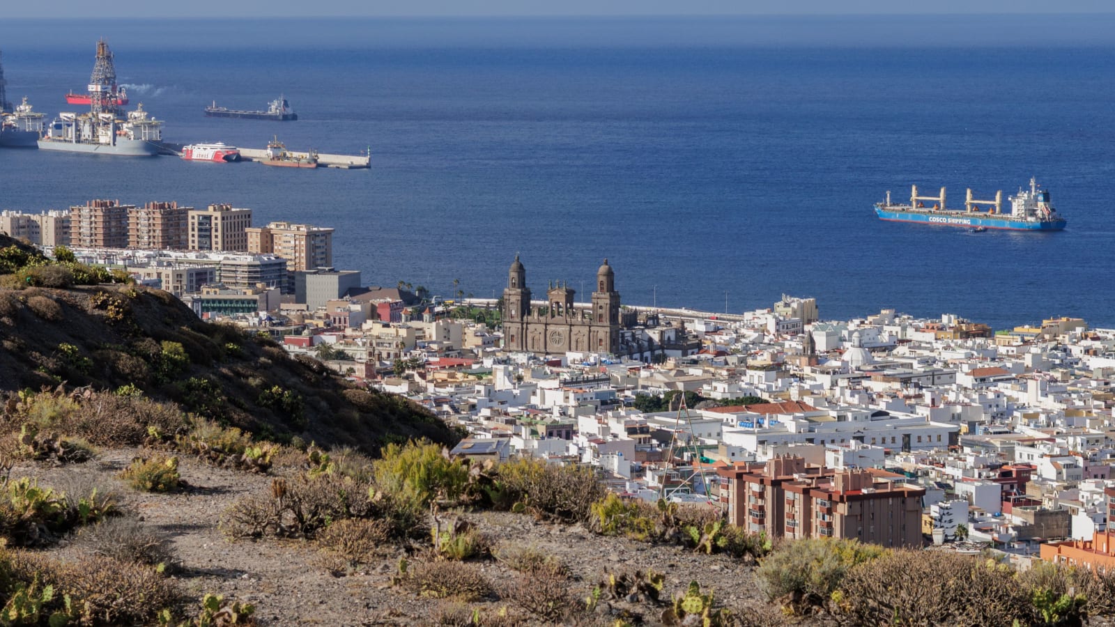
Gran Canaria is a round island with mountains in the middle, and its roads follow that shape. A motorway runs along the east and south coasts, linking the capital, the airport and the resorts. A fast road follows the north coast. Most other roads head uphill, into the ravines, up to the villages and over the high ground in the centre, twisting and narrowing as they go.
That split is the most useful thing to understand before planning a day out. On the coast, distance and time roughly agree. Inland they part company, and a place that looks close on the map can take more than an hour to reach. This guide covers the numbered roads, the mountain driving, the rules and parking lines that catch visitors out, hiring a car, the buses and taxis, and the trips where a car is more trouble than it is worth.
The GC-1 and the numbered roads
There are no state roads in the Canary Islands. The island's road network is run by the Cabildo, the island government, and every road number starts with GC. Most visitors spend their driving time on the GC-1, the Autopista del Sur. It leaves Las Palmas and runs south down the east coast past the airport, then west along the south coast into the municipality of Mogán, finishing at Puerto de Mogán. Technically it counts as an autovía as far as the airport and an autopista beyond exit 16, the airport turn-off, and its final section, Tauro to Puerto de Mogán, was opened in 2013.
Exit numbers climb as the road heads south, and the tourism board gives its resort directions by them: 37 for San Agustín and Bahía Feliz, 43 for Playa del Inglés, 46 for Maspalomas, 50 for Meloneras, 62 for Puerto Rico and 68 for Puerto de Mogán. The other numbers worth knowing:
- GC-2: from Las Palmas along the north coast to the north-west, as far as La Aldea de San Nicolás. Much of it is motorway, but some stretches are dual carriageways with roundabouts and traffic lights where they meet the towns.
- GC-3: the ring road round Las Palmas, from GC-1 exit 4 to the GC-2 in Arucas. More than half of it is tunnels and viaducts, and it lets a driver from the south reach the north coast without crossing the city.
- GC-500: the old Carretera General del Sur, which runs through the resorts beside the motorway. It is slower than it looks on a map.
- GC-60: the mountain road between Maspalomas and Tejeda, which starts its climb at San Fernando, just inland from Playa del Inglés.
- GC-15 and GC-21: routes up from the capital's side of the island, the GC-15 climbing from Santa Brígida to Tejeda and the GC-21 running from the edge of Las Palmas up to Artenara.
- GC-200: the old west-coast road between Agaete, La Aldea and Puerto de Mogán, known for rockfalls.
Spain's general limits apply unless signs say otherwise: 120 km/h for cars on autopistas and autovías, 90 km/h on ordinary roads outside towns, and 80 km/h on a motorway running through a town.
Drive times from the airport
These are routed times for the fastest car route from the airport, with the distance by road:
- Bahía Feliz, 24.7 km: 20 min
- Las Palmas centre, 25.6 km: 27 min
- Playa del Inglés, 31.1 km: 27 min
- Maspalomas, 35.1 km: 30 min
- Teror, 36.7 km: 44 min
- Puerto Rico, 48.6 km: 39 min
- Roque Nublo, 50.9 km: 66 min
- Puerto de Mogán, 54.8 km: 45 min
- Agaete, 55.6 km: 54 min
Read down the kilometres and the times jump about. Roque Nublo, at the centre, is closer to the airport by road than Puerto de Mogán, yet the drive takes 21 minutes more. Teror, inland in the north, is closer than Puerto Rico and takes five minutes more. These are free-flow figures, so they assume an empty road; around Las Palmas at the start and end of the working day, allow extra.
Mountain roads: slow for the distance
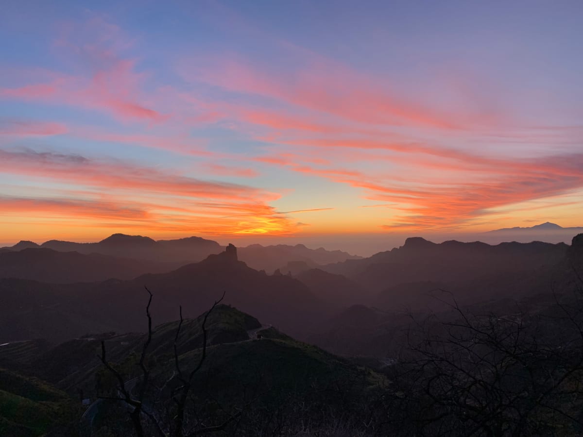
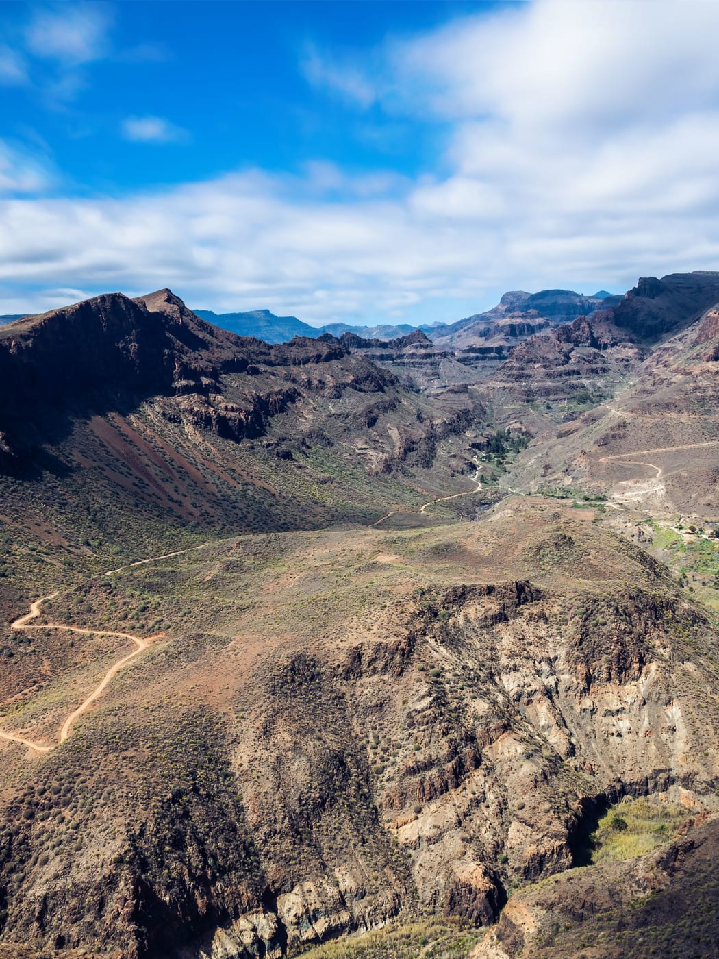
The interior is slow because of the roads, not the traffic. From Maspalomas, the routed drive to Roque Nublo is 42.3 kilometres and takes 65 minutes; from Teror it is 33.5 kilometres and 53 minutes. Plan a mountain day on time, not on kilometres, and allow for stops, because the viewpoints are the reason for going. Drivers used to straight roads find the bends tiring, so share the driving if possible.
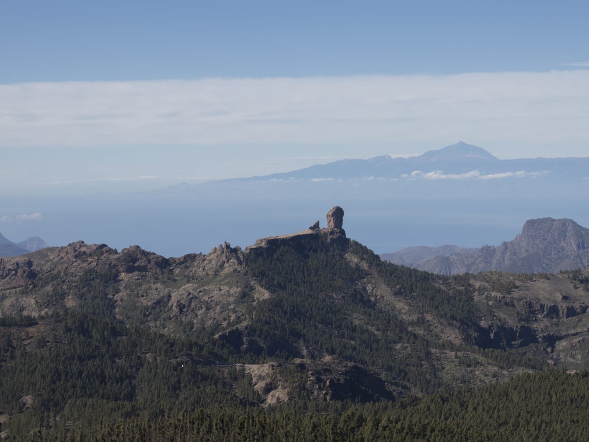
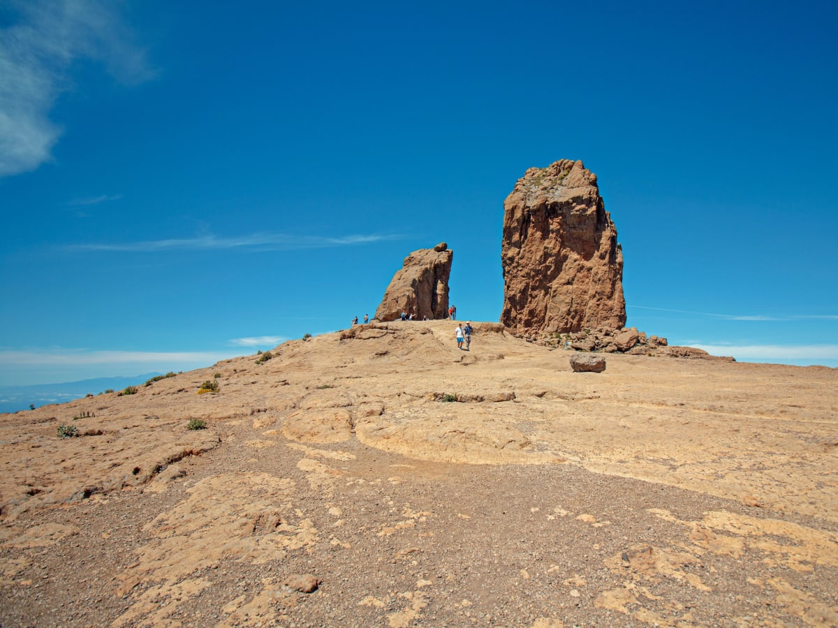
Roque Nublo itself needs planning beyond the drive. Cars may not park anywhere around the rock, there is no longer any parking at the Degollada de La Goleta, the main way in, and since 3 February 2025 walkers have needed a booking for the trail. The car goes instead to a park-and-ride, either in Tejeda village or at Cruz de los Llanos, and a shuttle bus covers the last stretch to the trailhead.
Two more things matter up here. Bad weather closes roads: storms have closed stretches of the GC-60, and rockfalls after heavy rain have closed the GC-200 on the west coast more than once, so check for closures before a trip after bad weather. And a hire car has to stay off the dirt tracks that wind across the hills: its conditions permit paved public roads and nothing else. It is also colder at altitude, and for the summit viewpoint, well above 1,400 metres, the tourism board's advice is to bring warm layers, proper shoes, something to eat and water.
Tours and Things to Do in Gran Canaria
Boat trips, island tours, walking tours and day trips across Gran Canaria, via GetYourGuide.
Round the island by coach
A day round the island by coach, with transfers included.
Check availability
Island highlights day tour from Las Palmas
A day visiting the island's highlights, starting from Las Palmas.
Check availability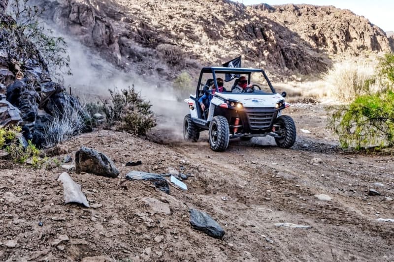
Off-road buggy into the canyons
An off-road buggy drive into the island's canyons.
Check availability
Guided hike across the peaks
A full day's guided hike across the high peaks at the centre of the island.
Check availabilityThe rules that matter
Traffic drives on the right, and Spain's national rules apply on the island. The ones most likely to matter to a visitor:
- Alcohol: the general limit is 0.5 grams per litre in the blood or 0.25 milligrams per litre in exhaled air. Drivers in the first two years after getting their licence have a lower limit, 0.3 and 0.15. Driving with drugs in the body is prohibited.
- Phones: holding a phone while driving is prohibited. Calls are allowed only hands-free, without headphones or earphones. A satnav is allowed.
- Seat belts and children: everyone wears a belt, in every seat. Any child 135 centimetres tall or less needs an approved restraint matched to height and weight, normally in a rear seat.
- Roundabouts: traffic already on the roundabout has priority over traffic joining it. Enter from the right-hand lane when it is free, keep to the outer lane unless overtaking, and leave from the outer lane; if traffic makes that impossible, go round again.
- Breakdowns: the connected V-16 warning light is the only legal way to signal a stopped car from 1 January 2026, replacing the old triangles, and a reflective vest must be worn on foot on the carriageway or hard shoulder outside towns. Check the hire car carries both before setting off. Get everyone out on the side away from the traffic if there is somewhere safe to stand; if not, stay inside with belts on. The emergency number is 112.
- Cyclists: mountain roads carry a lot of them. Passing one needs at least 1.5 metres of space, and from 1 October 2026 drivers overtaking a cyclist outside towns must also drop to at least 20 km/h under the road's limit.
- Fines: a driver who cannot show residence in Spain can be asked to pay a fine on the spot, and paying within the voluntary period brings a 50% reduction. The DGT, the traffic authority, never sends fines by email, so an emailed fine is a scam.
Town streets and the painted lines
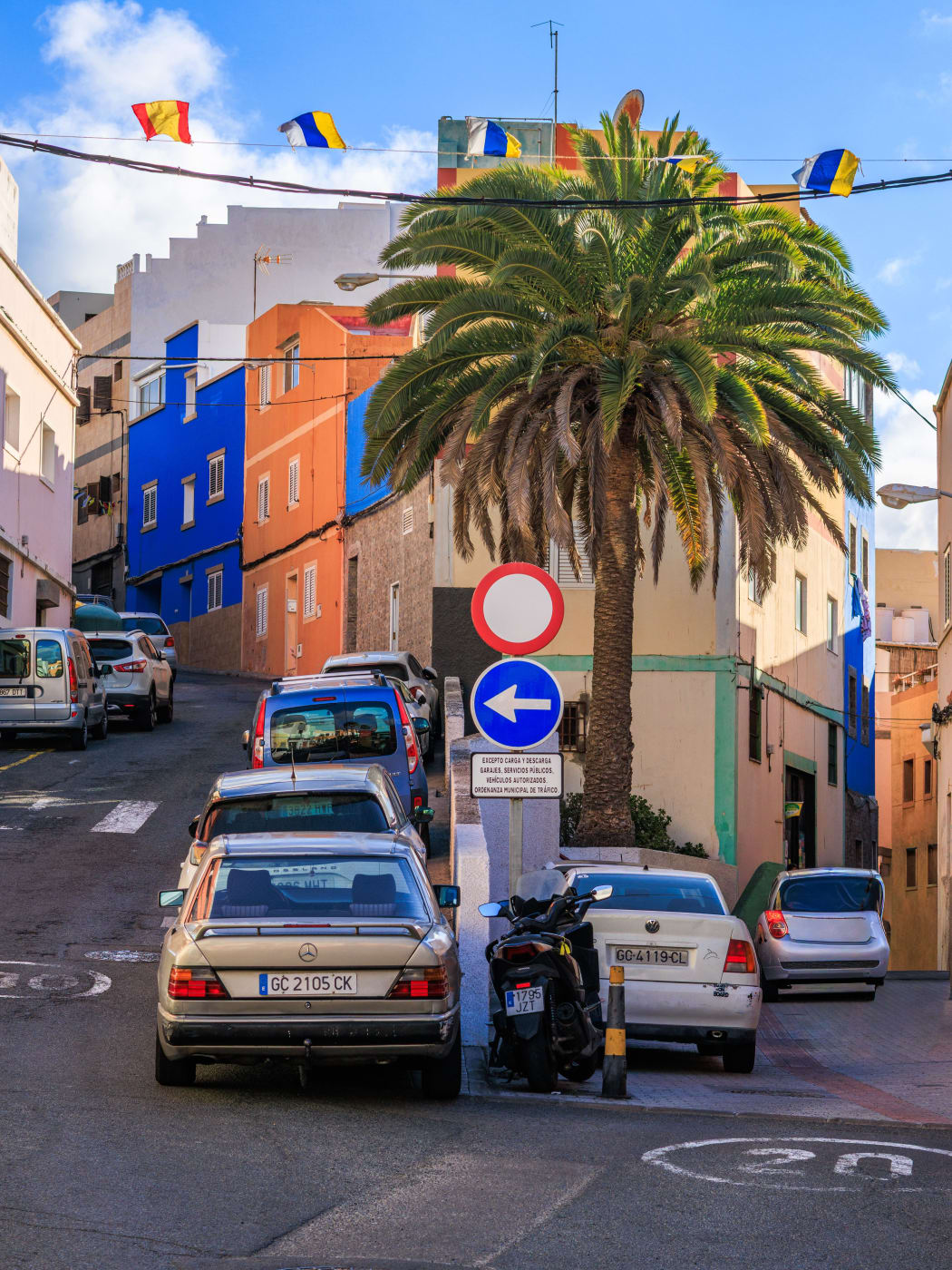
In towns the limits drop. On a street where the road and pavement are a single level the limit is 20 km/h, on a street with one lane in each direction it is 30, and on streets with two or more lanes each way it is 50. The old quarters and hillside districts are full of the first two kinds, often steep and narrow, with parked cars on both sides.
Kerb markings tell a driver where not to stop. A broken yellow line means no parking along its length, a solid yellow line means no stopping or parking, and a yellow zigzag marks a space reserved for a bus stop or for loading. As a convention, white bays are generally free and blue bays are paid, but that is not a guarantee: the local press has reported white-marked spaces in Playa de Mogán reserved for residents.
Las Palmas and Mogán both charge for blue-zone street parking. In the capital the blue bays have a two-hour maximum and the green bays are for residents, and in both a ticket, printed or virtual, is valid only if it carries the car's registration. For a full day in the capital, a car park is the realistic choice.
Hiring a car
In the car hire search on this site, the main pool of cars is handed over at the airport, at the point named Airport Gran Canaria (LPA). The exact meeting instructions are on the voucher, because they differ from one supplier to the next. A much smaller, separate pool on the south coast is brought to an address within one of a few resort towns instead of being collected. There are no cars to collect in Las Palmas itself; anyone based in the capital collects at the airport, a drive of under half an hour.
The conditions that decide whether the handover goes smoothly are set car by car, so read them on the car before paying:
- The card. Some cars need a real, embossed credit card in the main driver's name, not a phone wallet; where a debit card will do, the booking and the voucher say so.
- The licence. Bring the physical licence: the conditions rule out copies and electronic versions, and the expiry date must not fall before the rental ends. The DGT's advice to holders of licences from outside the EU and the European Economic Area is to get an International Driving Permit at home before travelling, so check what applies to the licence in question before leaving.
- Age and experience. Minimums are listed per car and can differ between similar models.
- Mileage. Some cars carry a daily kilometre limit, so check it against the plan if the week includes the west coast and the mountains.
- Fuel. Return it with the same amount of fuel as at pickup: a shortfall is charged at the rental company's rates, and extra fuel is not paid back.
- Where it can go. Paved public roads only. Some cars are approved for the inter-island ferries and some are not, so ask before booking if another island is in the plan.
The minimum charge is 24 hours, so a car for a single day out is priced as a full day.
Buses and taxis
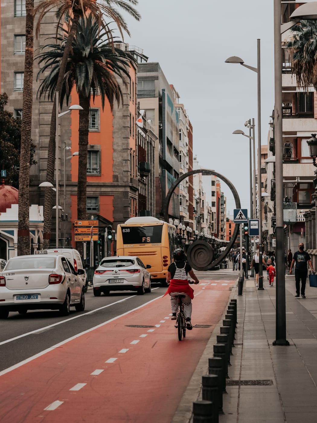
The island's buses, known locally as guaguas, link the airport, the capital and the resorts along the south coast, and Las Palmas has its own city buses as well. In the capital the bus station at San Telmo, at the northern end of Triana, is the handy stop for the old quarters. Schedules are revised from time to time, so look up the current one before relying on a bus for an early or late journey.
The bus works well along the coast and less well inland, where services are fewer and journeys long. There is one useful exception for the mountains: at Roque Nublo, the shuttle from the park-and-ride car parks runs walkers up to the trailhead, and a bus from the lighthouse at Maspalomas makes the trip too, so a car is not essential for the rock.
Taxis wait at the airport and work the resorts and the capital. They are the easy answer for a short hop, a late return or a group splitting one fare. Fares grow with distance, so for a long run it is worth asking the driver for an estimate before getting in.
When a car is not needed
A car is the key to the interior and the far coasts, but plenty of trips never use one.
A city stay in Las Palmas. Vegueta, Triana and Las Canteras are all in the capital, and street parking there is regulated and short. Walking, city buses and the odd taxi cover it.
A beach week on the south coast. The long beach runs from Playa del Inglés past the dunes to Maspalomas, and Meloneras is joined to the lighthouse by a promenade. A stay built around the sand needs a transfer from the airport and little else.
Roque Nublo on its own. The park-and-ride and the shuttle mean the last leg is by bus anyway.
The middle course suits many visitors: no car for the beach days, then a car for two or three days of mountains, villages and the north-west. Because the main pool of cars is at the airport and the resort-delivery pool is small, picking a car up mid-trip usually means a journey back to the airport, so decide which days need one before booking.